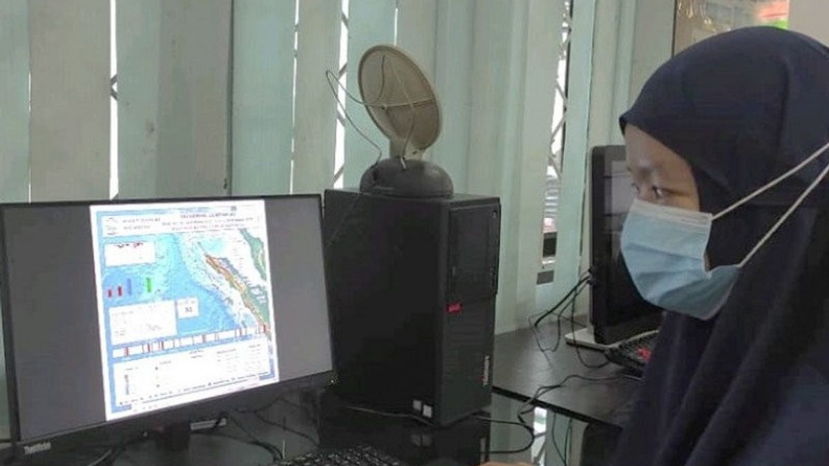


JAKARTA - The Meteorology and Geophysics Agency (BMKG) reported that an earthquake with a magnitude of 5.8 that rocked Bengkulu, Thursday at 00.28 WIB, had no potential for a tsunami.
Based on BMKG analysis, the epicenter was located at the coordinates of 4.50 south latitude and 102.54 east longitude, in the sea 41 kilometers southwest of Bengkulu with an earthquake depth of 31 kilometers.
The earthquake was felt in Bengkulu City on the IV-V Mercalli scale (Modified Mercalli Intensity / MMI).
Meanwhile, in Manna on a scale of IV MMI, Kepahiang scale III-IV MMI, Lubuk Linggau scale III MMI, Pagar Alam scale III MMI, Lahat scale III MMI, Pesisir Barat scale II-III MMI and Liwa scale II-III MMI.
BMKG recorded a series of earthquakes in Bengkulu from Wednesday 16 December 2020 night to Thursday 17 December 2020 afternoon, a total of 10 earthquakes were recorded. The strongest earthquake recorded with a magnitude of 4.2 rocked the Curup, Rejang Lebong, Bengkulu and surrounding areas on Thursday at 09.17.55 WIB.
Based on the results of BMKG analysis, the earthquake that occurred was a shallow crustal earthquake which was triggered by the large fault activity of Sumatra.

Meanwhile, a few hours later, an earthquake with a magnitude of 6.4 rocked Gorontalo, Thursday at 03:59 WIB. The relationship between the two earthquakes is not yet known.
Based on BMKG analysis, the epicenter was located at coordinates 0.10 South Latitude and 123.05 East Longitude, located at sea 71 kilometers southwest of Bone Bolango with an earthquake depth of 131 kilometers.
The earthquake was felt in Gorontalo City on the II-III Mercalli scale (Modified Mercalli Intensity / MMI). Kota Luwuk scale II-III MMI, Kota Manado II MMI, Bolaang Mongondow Selatan II MMI.
The earthquake was also felt in Ternate II-III MMI, Tidore II MMI, Morowali II-III MMI, Labuha II MMI and Boroko Bolaang Mongondow II-III MMI.
The earthquake had no potential for a tsunami.
The earthquake that occurred was a medium-sized earthquake due to the subduction activity of the Sulawesi sea plate.
The results of the analysis of the source mechanism show that the earthquake has a thrust fault mechanism.
The English, Chinese, Japanese, Arabic, and French versions are automatically generated by the AI. So there may still be inaccuracies in translating, please always see Indonesian as our main language. (system supported by DigitalSiber.id)
Most Popular Tags
#Prabowo Subianto #donald trump #Febrie Adriansyah #8791 #giias 2026Popular


