

JAKARTA - President Joko Widodo (Jokowi) asked ministries / agencies and local governments to immediately resolve overlapping land issues so as not to cause prolonged disputes, and provide legal certainty for accelerated development.
President Jokowi explained that to date there are 77.3 million hectares of land or 40.3 percent of the total area of Indonesia, whose status still overlaps.
The overlapping land status disturbs development planning. One of the reasons for the uncertainty of land status is that development planning is not based on the same data.
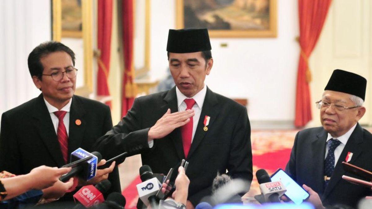
"I ask ministries / agencies and local governments to collaborate to resolve overlapping lands in the field. This is very important, both in forest areas and outside forest areas," said President Jokowi in a limited meeting at the State Palace, Jakarta, Thursday, February 6.
Jokowi requested that the compilation of thematic maps in the geoportal of the one map policy be completed immediately. The compilation of thematic maps will form an Indicative Map of Overlapping Thematic Geospatial Information (PITTI) which describes the existence of overlapping land in each area.
"Because of that I ask to be resolved today. Use an indicative map of overlapping thematic geospatial information as a working map to resolve overlapping land use issues," he said.
Jokowi also asked for a legal umbrella for the overlapping land to be resolved immediately. The Head of State explained that the acceleration of the implementation of the one map policy has been implemented since 2016, with synchronization, integration, compilation and various geospatial information on each island.
Currently, the accelerated implementation of the one map policy has succeeded in compiling 84 thematic maps from the target of 85 thematic maps in 34 provinces.
One thematic map that has not been compiled is the Administrative Boundary Map for Villages and Kelurahan. "After that is done, we can focus more on identifying and resolving the problem of overlapping thematic geospatial information that occurs in various regions," he said.
Jokowi also asked that geospatial information that has been generated in this one map policy be accessed in one geoportal. "Everything is one geoportal. So that each ministry / agency and regional government can obtain one geospatial data source. One standard, one reference, one database, and one geoportal," he said.
Jokowi also asked ministries / agencies and local governments to immediately use one spatial data as a reference in spatial-based development planning.
The English, Chinese, Japanese, Arabic, and French versions are automatically generated by the AI. So there may still be inaccuracies in translating, please always see Indonesian as our main language. (system supported by DigitalSiber.id)


