

BEKASI - The Regency Government (Pemkab) of Bekasi, West Java is looking for strategic solutions to overcome the problem of abrasion of 2,463 hectares in the waters of Muaragembong District through discussion of systematic and directed discussion forums initiated by regional research and development agencies.
"This FGD (focus group discussion) activity is a follow-up to the results of a beach abrasion study in Muaragembong in the 2022 fiscal year," said Bekasi Regency Assistant III Jaoharul Alam in Cikarang, Friday, January 27.
He explained that abrasion is a disaster caused by natural conditions and human activities. Quoting Tiratmodjo (1999) abrasion threatens coastal conditions and can cause the retreat of the coastline, damage ponds and rice fields, as well as buildings that directly border the sea.
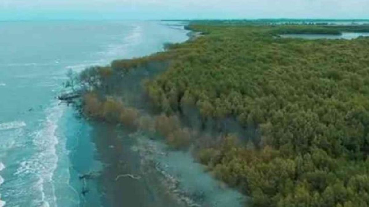
"The Muaragembongsir is a coastal area that directly borders the Java Sea so that it has abrasion disaster vulnerability plus changes in the use of land from mangrove land to ponds," he said.
Based on observations of the Digital Shoreline Analysis System (DSAS) program during 1988-2022, there was a change in the coastline in 13 observing zones. Eight zones experienced an abrasion of 2,463.3 hectares and five zones experienced an additional land area of 317.9 hectares.
"With the area of the coastal land on Muaragembong Beach which was lost due to abrasion, strategic steps and technical or non-technical policies were needed immediately taken by the central, provincial and Bekasi district governments," he said.
Head of Economics and Development at Balitbanda Bekasi Regency Indra Wahyudi said the purpose of this discussion forum was to discuss abrasion issues that continue to occur in Muaragembong as well as to find permanent handling solutions in the northernmost region of Java Island.
"The Muaragembong collaboration has been going on for a long time, if left unchecked, the land will continue to erode. So far, thousands of hectares of land have been affected by abrasion there," he said.
He said the abrasion would threaten residential areas to the livelihood sector of local residents if it continued to be allowed. Ecosystems are also threatened, including mangrove forests and Javanese lutung, which are the native habitats there.
Local governments bring in representatives across ministries and institutions at this discussion forum, including the Ministry of PUPR, the Ministry of Environment, the Center for River Region, Bappenas, the West Java Provincial Government, and a team of beach researchers.
Research team Ahmad Taufik Ghazali said the study on the handling of the Muaragembong abrasion was divided into 13 zones. From these zones, two zones, namely 11 and 12, must get priority handling before handling other zones.
"The solution is Hybrid Engineering where the combination is between vegetation and technical, but what must be targeted first is Design Engineering Detail (DED), civil engineering, then accompanied by vegetation," he said.
Furthermore, in the Jakarta Bay area, it must be able to maintain the coastline by using mangroves. The construction of reservoirs in abrasion-hit areas is also an option because it takes a long time to restore the lost sediment.
Meanwhile, Bappenas representative Aditya Rizki Taufani advised the local government to form a special team tasked with formulating strategic plans, action plans and financing models in the context of handling abrasion in Muaragembong.
"In the future, Muaragembong Beach management needs to be formed in order to make it easier to organize and float this coastal area in an integrated and sustainable manner," said the young researcher at Kyushu University Japan alumni.
The English, Chinese, Japanese, Arabic, and French versions are automatically generated by the AI. So there may still be inaccuracies in translating, please always see Indonesian as our main language. (system supported by DigitalSiber.id)
Most Popular Tags
#Prabowo Subianto #donald trump #2026 World Cup #venezuela #konflik timur tengahPopular


