

LUMAJANG - Eruptive activity/eruption and avalanches are still occurring on Mount Semeru which has an altitude of 3,676 meters above sea level (masl) and is on the border of Lumajang and Malang Regencies, East Java.
Based on a written report made by the Semeru Volcano Observation Post officer, Yadi Yuliandi, at 00.00-06.00 WIB, it was stated that there had been 25 eruptions with amplitudes of 11-23 mm and earthquake durations of 70-200 seconds.
"Based on seismic observations, there was also one avalanche with an amplitude of 4 mm and an earthquake lasting 50 seconds", he said as reported by ANTARA, Monday, January 9.
According to him, the activity of Mount Semeru was also recorded to have experienced two harmonics with an amplitude of 2-4 mm with an earthquake duration of 275-315 seconds, then two distant tectonic earthquakes with an amplitude of 11-25 mm.
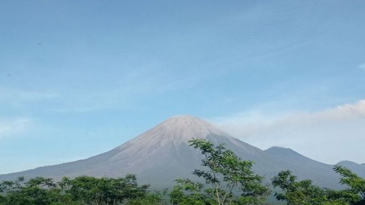
"Visually, Mount Semeru is clearly visible. Smoke from the crater is not observed, the weather is clear, and the wind is weak to the north and northeast", he said.
While Semeru's activity for the Monday period from 06.00-12.00 WIB visually the volcano is clearly visible until it is covered with fog, smoke from the crater is not observed, the weather is clear to cloudy, the wind is weak to moderate to the north and northeast.
"For seismic activity, 19 eruptions were recorded with an amplitude of 10-23 mm and one deep volcanic earthquake with an amplitude of 12 mm", he said.
He explained that the status of the highest mountain on the island of Java was at Level III or Standby so people were urged to comply with the recommendations of the Center for Volcanology and Geological Hazard Mitigation (PVMBG).
"The community is not allowed to carry out any activities in the southeastern sector along Besuk Kobokan, 13 km from the peak (the eruption center)", he said.
Beyond this distance, the community is also not allowed to carry out activities at a distance of 500 meters from the riverbank (river border) along Besuk Kobokan because it has the potential to be affected by the expansion of hot clouds and lava flows up to a distance of 17 km from the summit.
"People are also advised not to move within a 5 km radius of the crater/top of Mount Semeru because they are prone to the danger of throwing stones (incandescent)", he said.
The community also needs to be aware of the potential for hot clouds, lava avalanches, and lava along rivers/valleys that disgorge at the top of Mount Semeru, especially along Besuk Kobokan, Besuk Bang, Besuk Kembar, and Besuk Sat as well as the potential for lava in small rivers. which is a tributary of Besuk Kobokan.
The English, Chinese, Japanese, Arabic, and French versions are automatically generated by the AI. So there may still be inaccuracies in translating, please always see Indonesian as our main language. (system supported by DigitalSiber.id)


