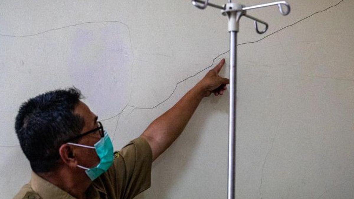


JAKARTA - Professor of the Faculty of Engineering, Diponegoro University (Undip) Semarang, Windu Partono suggested that the Semarang City Government need to draw up a microzoning map of the earthquake to follow up on the presence of five earthquake sources around the Central Java capital.
"The Center for National Earthquake Studies in 2017 has released five sources of active fault earthquakes around the city of Semarang," said Windu in Semarang, Friday, September 30.
The five sources of the earthquake were Sesar Weleri, Semarang Fault, Demak Fault, Purwodadi Fault and Rawapening Fault, respectively.
The existence of the five faults, he continued, needs to be followed up with research and manufacture of the Semarang City Earthquake Microzation Map to see the level of regional vulnerability to the danger of the earthquake.
He explained that the microzoning map of the earthquake was developed by dividing one area into a smaller zone.
"With the distribution of smaller zones, the potential for ground surface vibrations due to the closest earthquake sources can be identified and predicted more carefully," he continued as quoted by Antara.
He said the development of a micro-zoning map is very necessary because the soil vibration map developed by the Ministry of PUPR is made on a national scale so that it is not easily observed by the naked eye.
"The purpose of developing the earthquake microzoning map is to identify potential hazards in one area due to the earthquake incident scenario," he said.
The English, Chinese, Japanese, Arabic, and French versions are automatically generated by the AI. So there may still be inaccuracies in translating, please always see Indonesian as our main language. (system supported by DigitalSiber.id)
Most Popular Tags
#Prabowo Subianto #donald trump #2026 World Cup #Febrie Adriansyah #8791Popular


