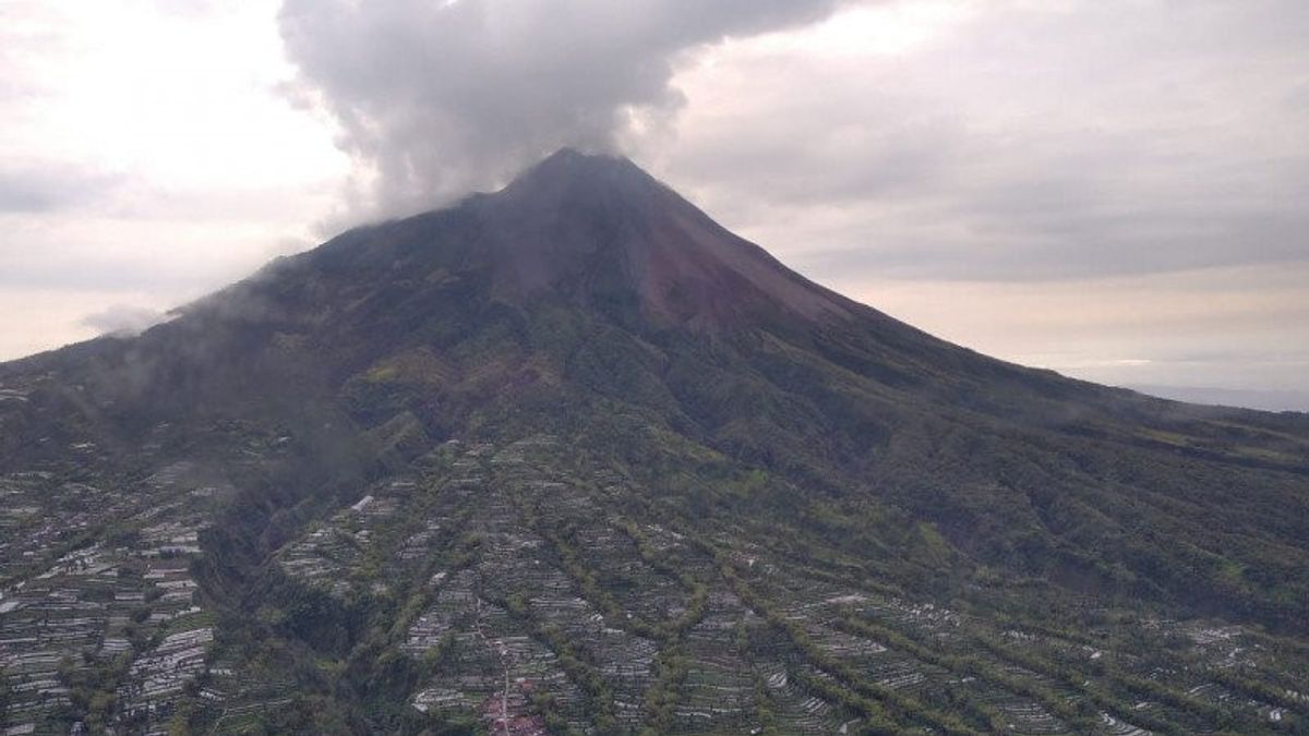


SLEMAN - The Rapid Response Team (TRC) of the Regional Disaster Management Agency of the Special Region of Yogyakarta Province monitors the development of Mount Merapi activities by air by helicopter. From monitoring, it appears that many new landslides at the top of Mount Merapi.
This activity is carried out in order to monitor the area so that further steps can be taken related to disaster mitigation for people living on riverbanks whose water flows upstream on the slopes of Mount Merapi.
"For us, as an evaluation material for community mitigation on the riverbanks upstream on the slopes of Mount Merapi," said BPBD DIY Operations Coordinator Endro Sambodo in a BNPB press release quoted by Antara, Friday, November 27.
According to Endro, the results of monitoring through the air contained a lot of new landslide material from the top of the mountain.
"At first glance, there is a lot of new landslide material. The landslides led to the slopes of Merapi which predominantly headed west and southwest," he said.
Judging from the morphology, Endro said, the landslide material was directed upstream of Kali Senowo, Kali Putih, and Kali Lamat.
For the southwest region, there are some materials on the slopes of Merapi leading upstream to Kali Boyong and Kali Krasak, while for the southeast side upstream of Kali Gendol, there is a new material avalanche. The provisional estimate of the landslide comes from the crater opening in the west wall.
"For further study, TRC BPBD DIY then reports the results of the monitoring to the Center for Geological Disaster Research and Technology Development (BPPTKG) for further analysis," said Endro.
The English, Chinese, Japanese, Arabic, and French versions are automatically generated by the AI. So there may still be inaccuracies in translating, please always see Indonesian as our main language. (system supported by DigitalSiber.id)
Most Popular Tags
#Prabowo Subianto #donald trump #Febrie Adriansyah #8791 #giias 2026Popular


