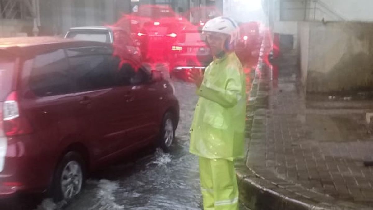
JAKARTA - Jakarta has been raining since this morning. Due to the high rainfall, a number of roads were flooded in North Jakarta, Central Jakarta and West Jakarta.
Based on data from the DKI Regional Disaster Management Agency (BPBD), North Jakarta is the area with the most inundated roads.
The areas with the highest inundation are in the Cilincing District, namely the Begog River Transition Road, the Semper Timur Twin Dewa Complex, Pedongkelan Street, and Bulak Cabe Street.
"The water level is between 15 cm and 30 cm," said the Head of BPBD DKI Subejo in a written statement, Friday, January 24.
Then, inundation in North Jakarta also occurred up to a height of 25 cm in the Kampung Sawah area, South side Marunda Arterial Road, and Jalan Parang Tritis Raya.
Then, puddles with a height of up to 15 cm are in Cilincing, North Jakarta, namely on Jalan Madya Kebantenan, Jalan Madya Semper, Jalan Mahoni, Jalan Cilincing Bhakti, Jalan Cilincing Lama, and Jalan Bhakti.
"Inundation with a height of 15 cm is also on Jalan Letjend Suprapto and Underpass Gandhi, Central Jakarta. Meanwhile, in West Jakarta it is in RW 05 and RW 12, Kapuk Village, Cengkareng District," said Subejo.
Furthermore, BPBD predicts that there is still the potential for moderate to heavy rain which can be accompanied by lightning and strong winds until 13.00 WIB.
Meanwhile, there is no water level with alert or alert I status at all floodgates at 10:00 WIB. Standby II status is at the fish market water gate.
Then, the water levels in Katulampa, Depok, Manggarai, Karet, Krukut Hulu, Pasanggrahan, Angke Hulu, Pluit Reservoir, Cipinang Hulu, Sunter Hulu, Pulo Gadung are still on standby IV or normal.
The English, Chinese, Japanese, Arabic, and French versions are automatically generated by the AI. So there may still be inaccuracies in translating, please always see Indonesian as our main language. (system supported by DigitalSiber.id)
