

JEMBER - Sub-Coordinator of Volcano Observation and Investigation of the Center for Volcanology and Geological Hazard Mitigation (PVMBG), Akhmad Basuki said there were hotspots in the crater of Mount Raung which indicated hot conditions in the magma after an eruption.
"After the eruption on Wednesday (27/7), a hotspot was observed in the crater of Mount Raung on Thursday (28/7), which indicates an increase in activity in the crater and continuous tremors," he said as quoted by ANTARA, Friday, July 29.
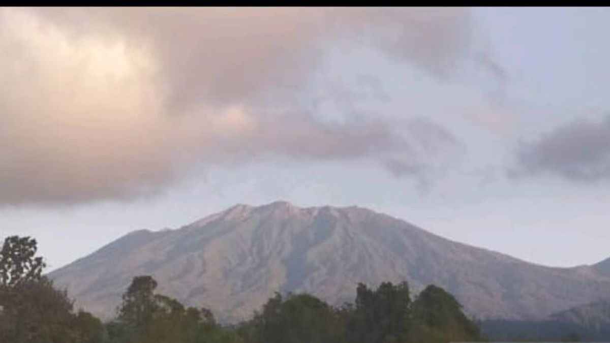
Mount Raung which has a height of 3,332 meters above sea level (masl) which is on the border of Jember, Bondowoso, and Banyuwangi Regencies has increased from normal (level I) to alert (level II) since July 29, 2022 at 08.00 WIB.
"Based on the results of monitoring and analysis of recorded seismicity, the status of Mount Raung has been raised to alert, so that people are not allowed to approach the center of the eruption with a radius of 3 kilometers," he said.
On July 27 at 17.19 WIB an earthquake eruption was recorded on a seismograph, but visually it could not be seen from the Mount Raung Observation Post in Songgon District, Banyuwangi Regency because it was covered in fog.
Visual observations from the other direction showed an ash eruption with an eruption column height of about 1,000-1,500 meters above the peak, then on July 28, 2022, a heat anomaly was detected on the surface of the crater through Terra and Aqua satellite images of 2 MW, which indicated the dynamics of magma on the surface. the crater of Mount Raung.
GPS measurements show an inflation pattern that indicates mass migration at depth (2,900 meters below the peak) which causes a change in dimensions of 1.7 million m3.
Then the seismic activity of Mount Raung on July 29, 2022 at 00.00 - 06.00 WIB was dominated by continuous tremor earthquakes with an amplitude of 0.5-4 mm.
"The current potential threat is in the form of incandescent rock material, but its distribution is still limited in the crater, while ash-sized material can be spread further depending on the direction and speed of the wind," he said.
He explained that intensive monitoring continues to be carried out to evaluate the activities of Mount Raung and is coordinated with the local government and the Regional Disaster Management Agency (BPBD).
Communities around Mount Raung are expected to remain calm, not provoked by issues regarding the eruption of Mount Raung, and to always follow the directions of the BPBD of East Java Province and BPBD of Bondowoso Regency, Banyuwangi Regency, and Jember Regency.
The English, Chinese, Japanese, Arabic, and French versions are automatically generated by the AI. So there may still be inaccuracies in translating, please always see Indonesian as our main language. (system supported by DigitalSiber.id)


