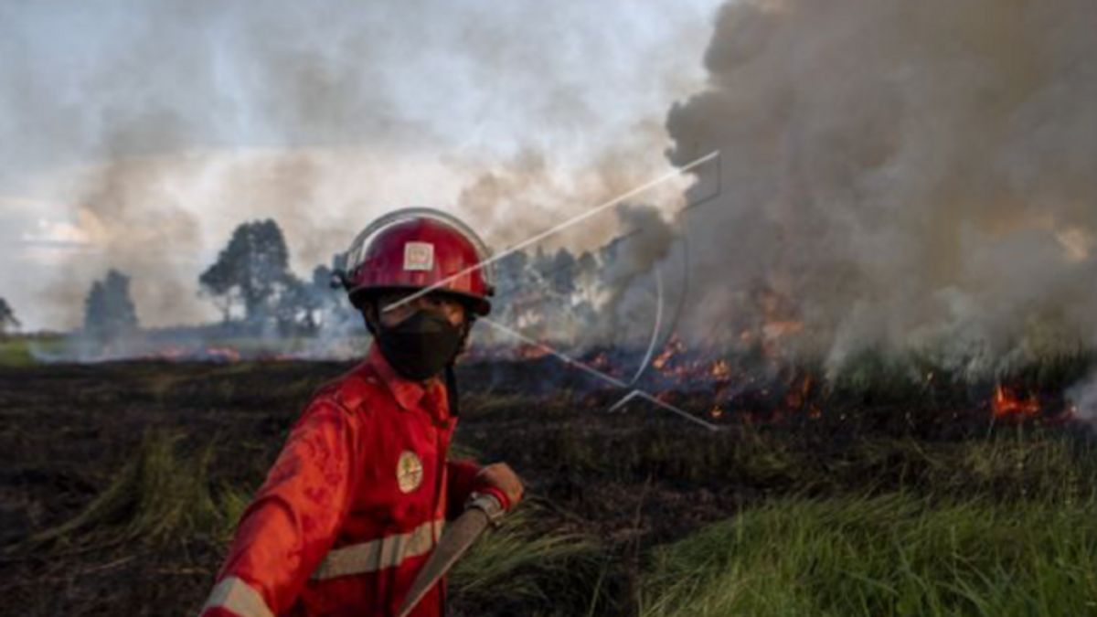


JAKARTA - The area of forest and land fires (karhutla) has decreased significantly in the six years since Indonesia has simultaneously improved its management system.
The Head of Sub-Directorate for Prevention of Karhutla at the Ministry of Environment and Forestry, Anis Susanti Aliati in Palembang, said that in 2014 the burned area reached 1.7 million hectares and in 2015 it rose to 2.6 million hectares (Ha), or an increase of 46.9 percent.
When he was a keynote speaker in a discussion entitled "The role of parties in supporting the application of standard forest and land fire control instruments at the site level", Anis said, in the next three years there was a significant decrease from the reference figure, namely in 2016 which was 438,363 hectares or a decrease of 75.3 percent, in 2017 covering an area of 165,484 Ha or decreased by 90.7 percent and 2018 covering an area of 510,564 Ha or a decrease of 71.3 percent.
"However, in 2019, the area of forest and land fires skyrocketed again past the reference figure of 7.2 percent due to the burning of 1.6 million hectares," said Anis in Palembang, Friday, July 1.
He revealed, in the next two years, it experienced a decline again, namely in 2020 it was 296,942 hectares or decreased by 83.3 percent and in 2021 it was recorded at 358,864 hectares or decreased by 79.8 percent.
"Meanwhile, if you want to observe 2022, the data presented is also much better than 2019," said Anis as quoted by Antara.
According to him, many things have been done by stakeholders to prevent forest and land fires reflecting on the great incident in 2015.
Indonesia has developed a strategy to combat forest and land fires by optimizing multi-stakeholders, starting from strengthening coordination from the central to local government levels, controlling forest and land fires such as using Weather Modification Technology and early extinguishing efforts.
Then, increase preparedness, increase capacity, infrastructure and funding, as well as international cooperation.
Even though he has done many things, he does not deny that forest and land fire surveillance always threatens Indonesia every dry season because of the 20 million hectares of peat area spread over five provinces.
One of the newest challenges encountered is now that there are several provinces namely Aceh, Lampung, Sumber and West Kalimantan which have been burned since the beginning of the year and in mineral land areas.
Therefore, in the future, the government intends to standardize the handling of forest and land fires in Indonesia which can be a reference/guideline for the parties to achieve the net zero emission target in 2060.
The English, Chinese, Japanese, Arabic, and French versions are automatically generated by the AI. So there may still be inaccuracies in translating, please always see Indonesian as our main language. (system supported by DigitalSiber.id)


