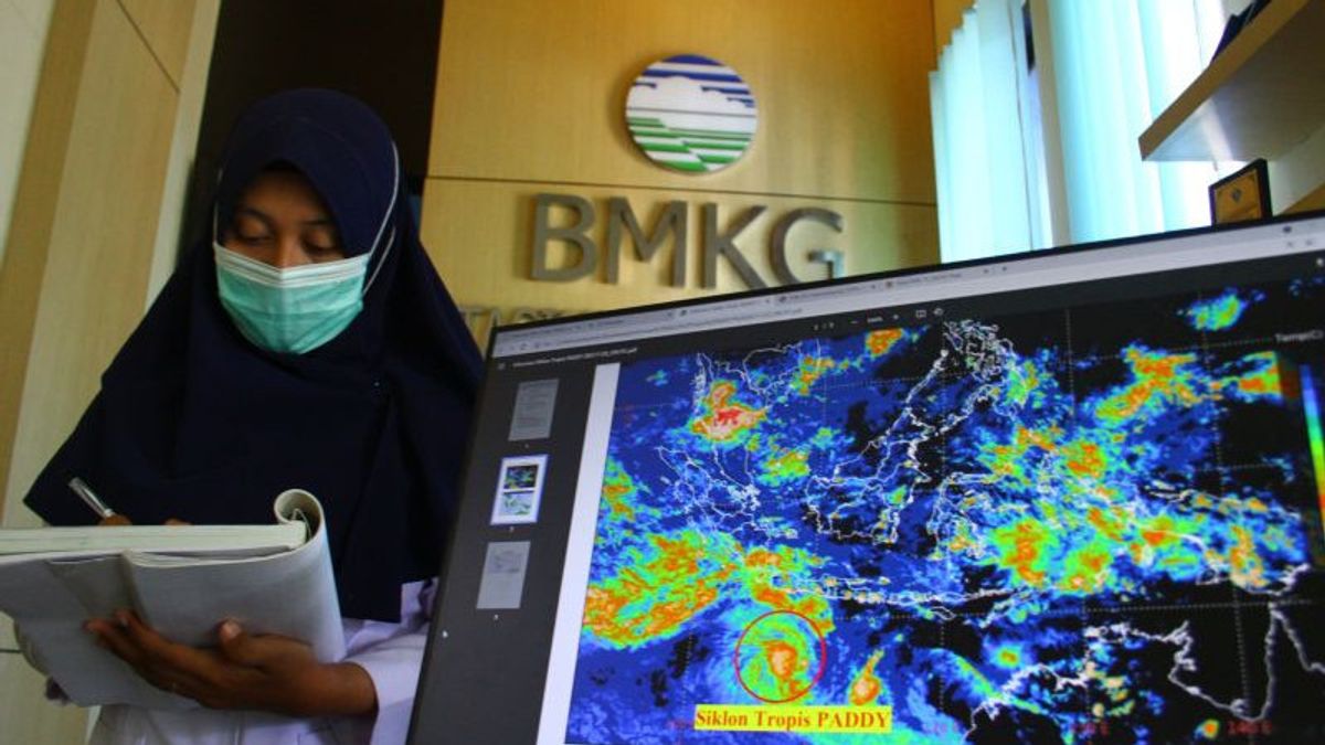


MAKASSAR - The Meteorology, Climatology and Geophysics Agency (BMKG) has detected the growth of rain clouds that have the potential to trigger light to heavy rain in a number of provincial capital areas, including South Sulawesi.
"As reported by the BMKG website, namely www.bmkg.go.id, the potential for rain is triggered by cyclonic circulation in the West Indian Ocean, Sumatra, Makassar Strait which forms an area of slowing wind speed or convergence," said Head of BMKG Region IV Makassar, Irvan Slamet citing a statement from the central BMKG reported by Antara, Wednesday, June 15.
Based on BMKG data, it is known that the growth of rain clouds extends in West Sumatra, Central Kalimantan, East Kalimantan, North Kalimantan, to West Kalimantan from South Sulawesi to the Flores Sea.
The convergence area was also observed extending in eastern Aceh, central Aceh from the Banda Sea to Southeast Sulawesi and the East Nusa Tenggara Sea in the Aru Islands, Papua and West Papua.
Including light rains that flushed Sumatra Island, except in Bengkulu and Jambi areas which have the potential to rain with moderate intensity. Be aware of the potential for rain accompanied by lightning which is expected to occur in Aceh and Pangkalpinang.
Weather forecast in the Sulawesi region for the Palu and Manado areas is expected to be cloudy. The potential for light rain is predicted to occur in Mamuju, Makassar and Kendari. People in the Gorontalo area are advised to be aware of the potential for heavy rain.
Entering eastern Indonesia, the weather conditions are predicted to rain with light intensity in Ambon, Ternate, Manokwari and Jayapura areas.
The English, Chinese, Japanese, Arabic, and French versions are automatically generated by the AI. So there may still be inaccuracies in translating, please always see Indonesian as our main language. (system supported by DigitalSiber.id)


