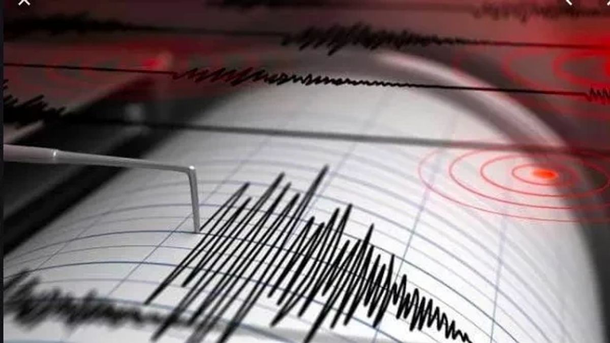


NTB - The Dompu earthquake, West Nusa Tenggara (NTB) which was updated by the BMKG with a magnitude of 5.0 (M) was the result of plate subduction activity. The earthquake occurred on Monday, June 6, at 10:44 WIB
Head of the BMKG Earthquake and Tsunami Center, Bambang Setiyo Prayitno, said the earthquake's epicenter was located at coordinates 8.76° South Latitude: 118.40° East Longitude or precisely located on land, Dompu area, at a depth of 126 km.
"By taking into account the location of the epicenter and the depth of the hypocenter, the earthquake that occurred was a medium-sized earthquake due to subduction activity," he said in a written statement, quoted by Antara, Monday, June 6.
Bambang said the results of the analysis of the source mechanism showed that the earthquake had a normal-fault movement mechanism.
This earthquake had an impact and was felt in the Dompu and Bima areas with an intensity scale of III MMI (the vibration was real in the house. The vibration felt as if a truck was passing). The modeling results show that this earthquake has no tsunami potential.
"As of 11.15 WIB, the results of BMKG monitoring have not shown any aftershock activity," said Bambang.
The BMKG appealed to the public to remain calm and not be influenced by issues that cannot be justified and to avoid buildings that were cracked or damaged by the earthquake.
"Check and make sure the building where you live is earthquake-resistant enough, or there is no damage due to earthquake vibrations that endanger the stability of the building before you return to the house," said Bambang.
Ensure that official information on natural disasters only comes from the BMKG which is disseminated through verified official communication channels.
The English, Chinese, Japanese, Arabic, and French versions are automatically generated by the AI. So there may still be inaccuracies in translating, please always see Indonesian as our main language. (system supported by DigitalSiber.id)
Most Popular Tags
#Prabowo Subianto #donald trump #2026 World Cup #venezuela #konflik timur tengahPopular


