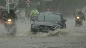
JAKARTA - Long before the natural phenomenon of extreme rain occurred at the end of 2019 to early 2020, the Meteorology, Climatology and Geophysics Agency (BMKG) had provided an early prediction of this potential. As a result of this extreme rain, Jakarta and its surroundings were flooded.
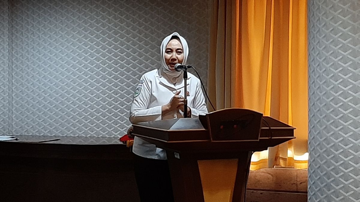
Head of BMKG Dwikorita Karnawati said, Indonesia does need to adapt to adjust mitigation. Natural phenomena that have occurred in recent days have become important lessons for the need for early warning.
Dwikorita explained that his party had disseminated early warning information, which had been delivered a week before the extreme rain phenomenon, starting from 23 December, then 27 and 28. In fact, he said, the day before the rain fell.
In fact, said Dwi, the early warnings delivered by BMKG were deemed less devastating. So, people ignore this information. However, the fact is that the community does not understand the difference between forecasts and estimates.
"We try to listen to the public, the public still thinks that early warning is an estimate, not a prediction. This is what is understood, even though the early warning from BMKG is a prediction based on data," he said, at the BPPT office, Jalan MH Thamrin, Central Jakarta, Friday, December 3. .
Dwi explained, the data obtained by BMKG is data sourced from satellites that have been verified with local data. This verification is supported by radars that are spread across Indonesian regions.
The data, said Dwi, was calculated using mathematics and modeling. Not only that, the data must then be verified with local data. According to him, this is what differentiates Indonesian data from international data.
"So please really believe in the forecast, it can be wrong. The calculation is not God, so there must be limited accuracy. Our accuracy is 80-85 percent, so if someone misses about 15-10 percent that's the limit. But ask again, forecasts. that's not an estimate, "he explained.
Prediction of Extreme Rain Will Still Occur
Dwikorita said that his party had predicted extreme rain in several regions in Indonesia for two weeks. The forecast of estream rainfall is related to the entry of wet air flows from East Africa to West Sumatra, South Sumatra, Lampung, and Java, including Jabodetabek.
Areas that are traversed by wet air flows will have an impact on increasing the intensity of heavy rain to the extreme in the region. So, he said, rain with extreme intensity will occur again.
"Please pay attention to the forecasts, on January 5 to 10 the intensity of the rain will increase again," he said.
On January 11 to 15, it is predicted that the flow of wet air will move into the areas of West Kalimantan, East Kalimantan, South Kalimantan, South Sulawesi, and Southeast Sulawesi.
Dwikorita said the rain intensity would increase at night until early morning. Meanwhile, during the morning to noon, the rain intensity tends to be normal.
"From morning to noon we can still breathe, rest, when the intensity increases," he explained.
In addition, Dwikorita hopes that the forecast of heavy rain in these areas can be used as the basis for the Weather Modification Technology (TMC) operation team.
"Hopefully TMC is very helpful, after the TMC forecast is successful, our forecast is wrong," he concluded.
The English, Chinese, Japanese, Arabic, and French versions are automatically generated by the AI. So there may still be inaccuracies in translating, please always see Indonesian as our main language. (system supported by DigitalSiber.id)


