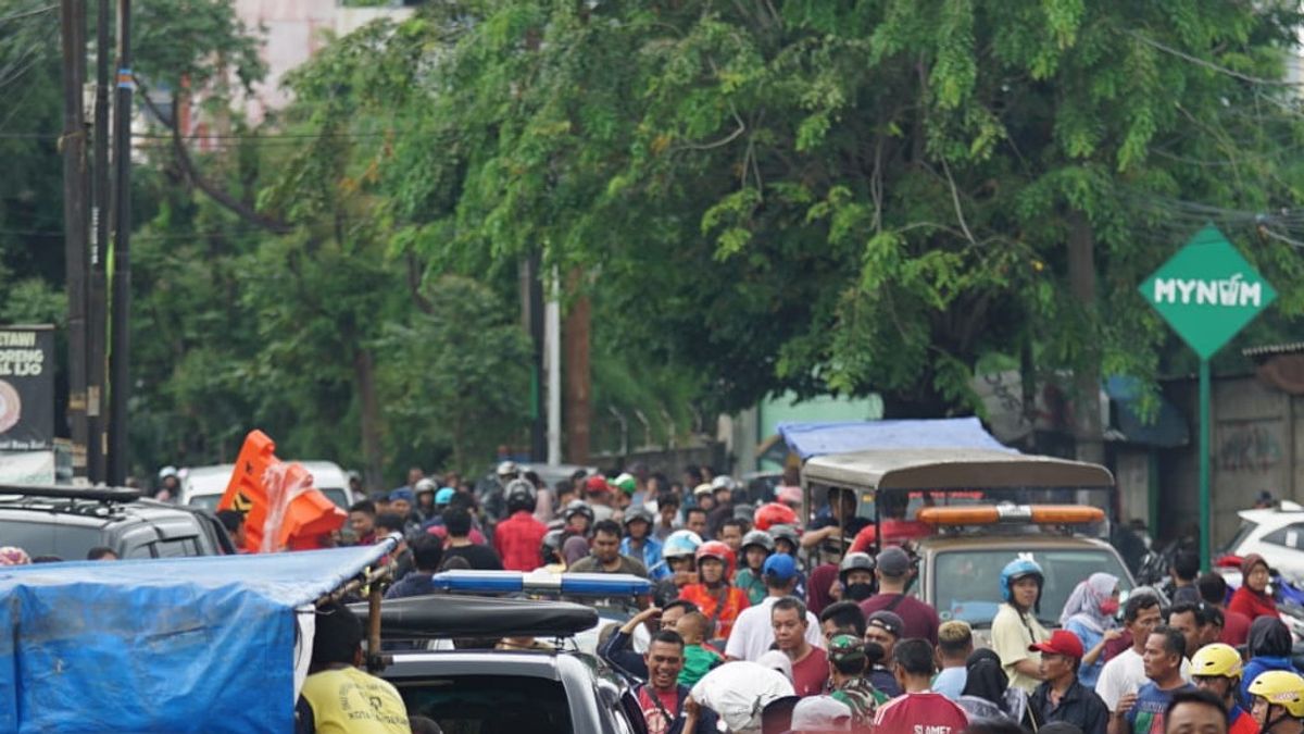
JAKARTA - Floods in the Jakarta area at the beginning of this year still left an impact, one of which was the disconnection of several routes which resulted in the inaccessibility of road users. A number of roads in the Central Jakarta, West Jakarta and North Jakarta areas were not yet accessible as of Friday, December 3, this afternoon.
Based on data from the DKI Jakarta Provincial Transportation Agency, roads that are not yet accessible in Central Jakarta include the Sawah Besar Industry, Gunung Sahari, Jl. Bungur Raya Kemayoran, and Jl. Abdul Jalil.
For the North Jakarta area, only the Penjaringan area is not accessible by vehicles. Head of the DKI Jakarta Transportation Agency, Syafrin Liputo, stated that the water level on Jalan Teluk Gong Raya, Jalan Kampung Gusti, Jalan Kapuk Raya, and Kapuk Muara Raya reached 100 cm at the most.
"On the Pejagalan BK road, traffic has been diverted due to the evacuation of residents affected by the flood. Meanwhile, Jalan Raya Cakung Cilincing (KBN) still has a pool of vehicles leading to Priok being diverted via toll roads," said Syafrin in his statement.
For the West Jakarta area, there are a number of points that cannot be passed by vehicles, such as Daan Mogot, Pesing, Tanjung Duren, Jelambar, Tambora, Kembangan, Cengkareng and Kalideres.
The details of water levels and roads that are still affected by inundation and flooding are as follows.
1. Daan Mogot
- Jl. PTB. Angke about 20-30 cm
- Jl. Daan Mogot is about 30-40 cm
- Jl. Prime about 10-15 cm
- Jl. Works about 20-30 cm
2. Pesing
- Jl. The length of the direction from Kedoya Pesing to Duta Buah to Daan Mogot water level is 90 cm
3. Tanjung Duren
- Jl Tanjung Duren Barat 1
- Jl. West Tanjung Duren 2
- Jl. Daan Mogot Raya Park
- Jl. Time Secretary
4. Poor
- Jl. Satria Raya from (TL. Grogol to grogol station)
- Jl. Satria 1, Jl. Satria 2, Jl. Satria 3, and Jl. Satria 4, the water level has decreased from 70 cm to 50 cm, but the vehicle cannot pass it
5. Tambora
- Along Jl. Tubagus Angke cannot yet be passed by two- and four-wheeled vehicles
6. Development
- Traffic from North and East to West Jl. Pasar Minggu, the water level is 120 cm
- Jl. North Kembangan, the water level is around 20-70 cm
- Jl. Kembangan Raya, the water level is around 20-50 cm
7. Cengkareng
- Jl. Puskemas 1 - Jl. Ujung Puskesmas, Cengkareng Subdistrict, the water level is 50 cm, it cannot be passed by two-wheeled or four-wheeled vehicles
- Jl. Daan Mogot, near Fly Over Pesing, the water level is 100 cm, it cannot be passed by two-wheeled or four-wheeled vehicles
- Jl. Ring Road Rawa Buaya in front of Terminal Kec. Rawa Buaya water level 80 cm, two-wheeled or four-wheeled impassable
- Jl. Ring Road Rawa Buaya in front of Pasar Sentra, water level of 20 cm, can be passed by two wheels or four wheels
- Jl. Alhikmah Rawa Buaya, Cengkareng Subdistrict, the water level is 1.2 m. Two or four-wheelers cannot pass it
- Jl. Jambu Duri Kosambi, Cengkareng Subdistrict, 30-50 cm high, cannot be passed by two wheels or four wheels
- Jl. Ujung Asphalt Duri Kosambi, Cengkareng Subdistrict, a height of 40 - 60 cm, cannot be passed by two wheels or four wheels
8. Kalideres
- Hipli Market water level is 25 - 50 cm, vehicles cannot yet be passed. Efforts are being made to install portable signs calling for alternative roads.
The English, Chinese, Japanese, Arabic, and French versions are automatically generated by the AI. So there may still be inaccuracies in translating, please always see Indonesian as our main language. (system supported by DigitalSiber.id)
