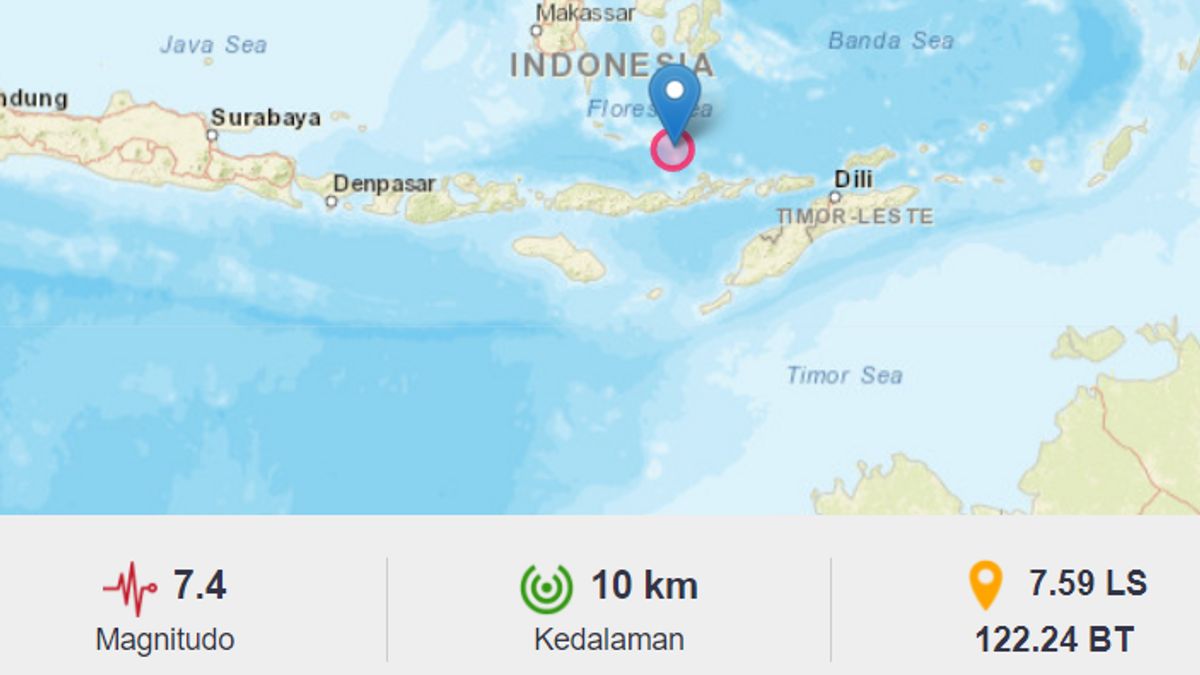
JAKARTA - Meteorology Climatology and Geophysics Council (BMKG) released that it had succeeded in detecting tsunami waves due to the 7.4 Magnitude Earthquake. The location is in Marapokot, East Nusa Tenggara (NTT) as high as 0.07 meters in Reo and Marapokot.
"Update for #Tsunami Early Warning due to #Earthquake Magnitude: 7.4 (113 km Northwest of LARANTUKA-NTT), has been detected at MARAPOKOT(03:36WIB) 0.07m, REO(03:39WIB) 0.07m #BMKG," tweeted the BMKG Twitter account as follows quoted, Tuesday 14 December.
VOI editorial team tried to check based on the coordinates submitted by the BMKG on their Twitter account. Try to map the coordinates through the Google Maps application.
There are two areas that detected the emergence of tsunami waves. MARAPOKOT(10:36WIB) 0.07 metersREO(10:39WIB) 0.07 meters
Here's a photo of the view and the distance between the two places.
The English, Chinese, Japanese, Arabic, and French versions are automatically generated by the AI. So there may still be inaccuracies in translating, please always see Indonesian as our main language. (system supported by DigitalSiber.id)


