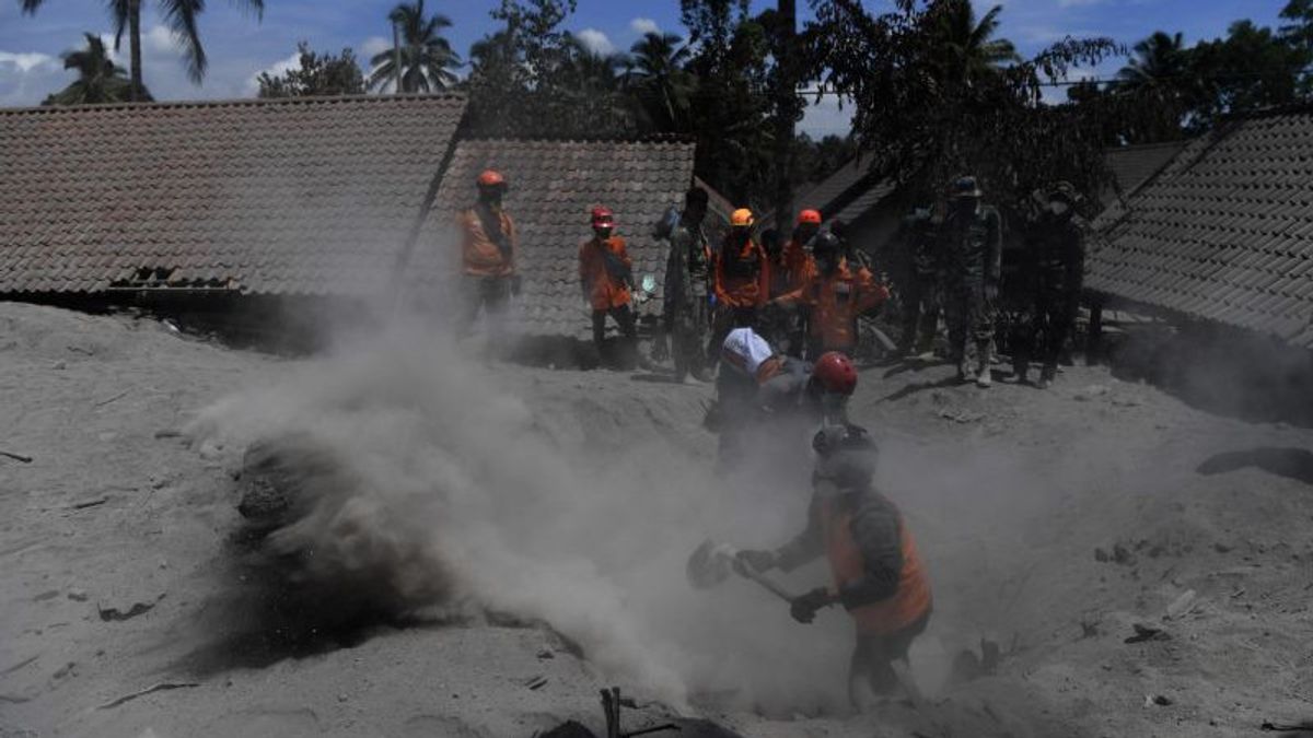
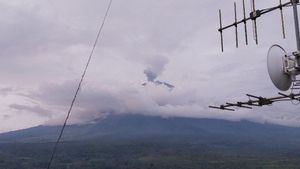
LUMAJANG - Most of the villages in Candipuro and Pronojiwo sub-districts, Lumajang regency, are still covered by volcanic ash from Mount Semeru. As a result, hundreds of houses in the two areas could not be identified because Semeru's material was buried in them.
"Until now, there are still many people's houses, there are even hundreds of houses where only the roof is visible. So the category is very, very severe, and cannot be identified for data collection," said Head of Rehabilitation and Reconstruction Division of the Regional Disaster Management Agency (BPBD). ) Lumajang, Joko Sambang, confirmed, Wednesday, December 8.
Joko said that there were two villages that were worst affected by the eruption of Mount Semeru. They are Supiturang Village, Pronojiwo District, and Sumberwuluh Village, Candipuro District. Meanwhile, the worst hamlets were Dusun Curah Kobokan and Kampung Renteng,
"So we friends who are assessing public facilities (public facilities) can only collect data from existing data in the village," he said.
Joko admitted that it was difficult for him to map out exactly how many houses were damaged, considering that he did not know the condition of the houses at first.
"That's why we haven't been able to identify it yet, because we don't know what the initial condition of the house was, so we can't map it out yet," he said.
The English, Chinese, Japanese, Arabic, and French versions are automatically generated by the AI. So there may still be inaccuracies in translating, please always see Indonesian as our main language. (system supported by DigitalSiber.id)
