

JAKARTA - The Meteorology, Climatology and Geophysics Agency (BMKG) said that the seeds of Tropical Cyclone 94W in the southern waters of Cambodia could have an indirect impact on weather conditions in Indonesian territory in the next 24 hours.
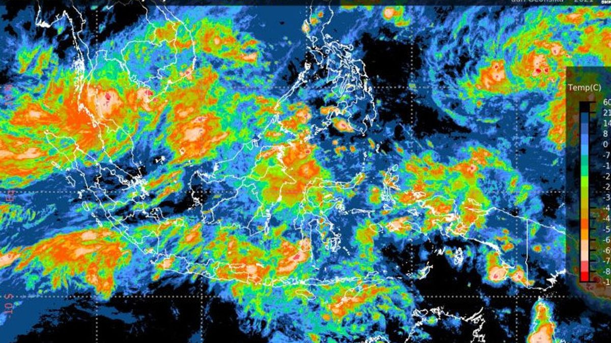
Deputy for Meteorology Guswanto conveyed that the indirect impact of Tropical Cyclone 94W on weather conditions in Indonesian territory, namely the potential for moderate to heavy rain in Aceh, North Sumatra, Riau and Riau Islands.
Then, the wave height is 1.25-2.5 meters (Moderate) in the waters of the Anambas and Natuna Islands. The wave height is 2.5-4.0 meters (Rough Sea) in the North Natuna Sea. He added that BMKG through the Jakarta Tropical Cyclone Warning Center (TCWC) continues to monitor the development of Tropical Cyclones and other atmospheric dynamics activities along with the potential impacts of extreme weather. With the potential for extreme weather, the public is advised to avoid shipping activities in the affected waters," he said in a written statement received in Jakarta, Monday, November 29.
For this reason, he continued, people are advised to avoid areas prone to disasters such as river valleys, slopes prone to landslides, trees that fall easily, shores, and others. especially in vulnerable areas.
He said that the seeds of Tropical Cyclone 94W were formed around the South China Sea south of Cambodia, precisely at a position of 7.1 degrees North latitude, 104.5 degrees East longitude. (27.78 km/hour) with minimum air pressure around the center reaching 1008 mb," he explained. to become a Tropical Cyclone system. "A criterion that a Cyclone Seed can be said to increase to a Tropical Cyclone is if the maximum wind speed around the system reaches a minimum of 35 knots (65 km/hour)," he explained. the confluence area and wind speed deceleration (convergence) that extends from the southern part of Vietnam to the Gulf of Thailand g is able to increase the potential for rain cloud growth around the system and along the convergence area.
"This system also triggers anomalous patterns of wind speed in the lower atmosphere (low level jet) to reach more than 25 knots around the Gulf of Thailand," said Guswanto.
He said, for people who want to get the latest information, they can directly access the BMKG page at https://www.bmkg.go.id and Twitter social media @infobmkg. directly contact the nearest BMKG office.
The English, Chinese, Japanese, Arabic, and French versions are automatically generated by the AI. So there may still be inaccuracies in translating, please always see Indonesian as our main language. (system supported by DigitalSiber.id)


