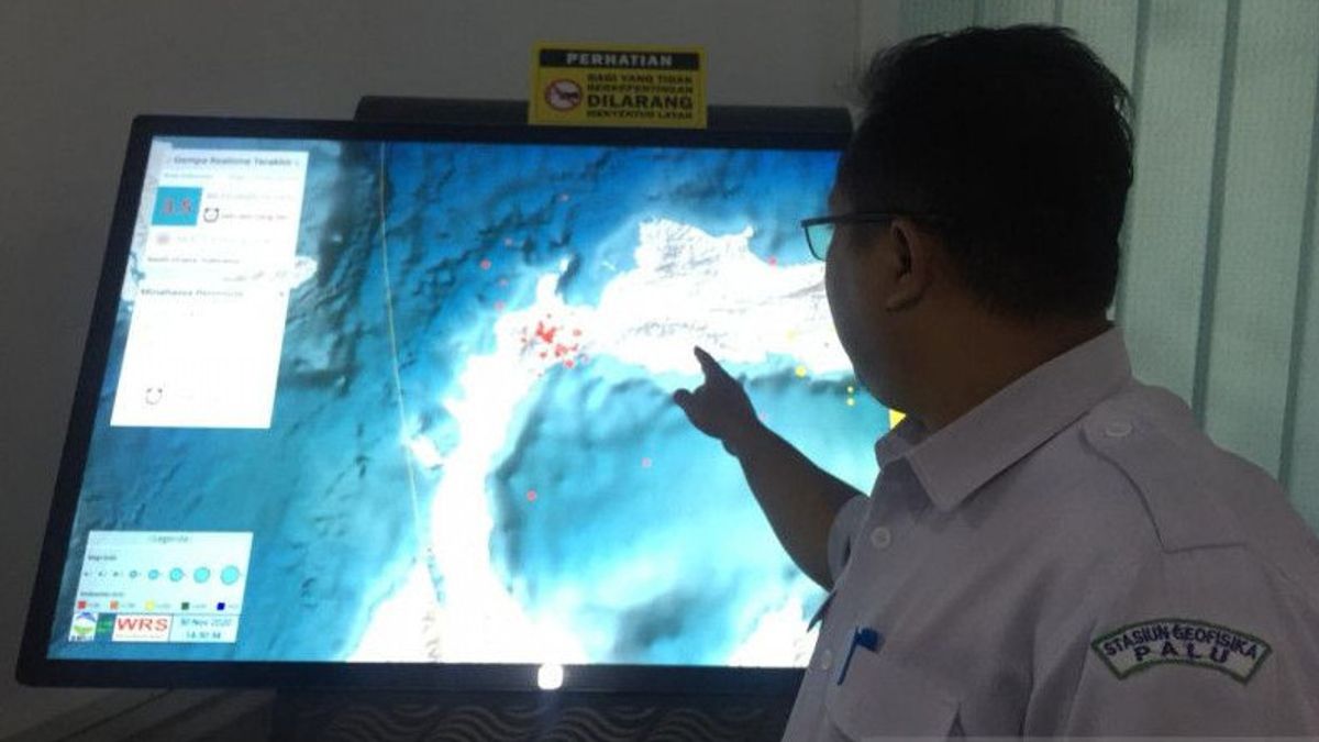


PALU - The Meteorology, Climatology and Geophysics Agency (BMKG) of the Palu Geophysics Station has surveyed earthquake and tsunami hazard maps in four areas in Central Sulawesi, namely Toli-toli, Buol, Donggala and Palu City.
"From the survey results, the BMKG and the local Disaster Management Agency (BPBD) will install a tsunami safe zone or evacuation route marked with a blue line. The tsunami blue line is a sign made to get to a safe point if at any time there is a tsunami threat in an area. the area," said Head of the BMKG Data and Information Section at the Palu Geophysics Station, Hendrik Leopatty, quoted by Antara, Monday, November 15.
Hendrik explained that currently BMKG Geophysics Station is pursuing the target of surveying earthquake and tsunami hazard maps in all districts/cities in Central Sulawesi. It is planned that in the near future BMKG will resume surveys in the districts of Sigi, Poso, Banggai and Banggai Islands.
"We prioritized coastal areas first and we shifted to mountainous areas to conduct earthquake surveys," said Hendrik.
"We are doing modeling by going directly to the field, if it is a red or dangerous route, then we BMKG will find a way for the community to reach a safe point," he added.
Of the four areas surveyed, the BMKG Geophysics Station has verified and coordinated with the Palu City BPBD. As a result, there were 17 points designated as evacuation directions, two temporary gathering points and two final assembly points.
Evacuation routes will be marked in blue, accompanied by the writing of the distance and time that must be taken to get to the temporary safe point and the final safe point.
"From the final meeting point owned by the regional government, only four have been legalized, we and the team get two more opportunities for the final meeting point," he said.
Hendrik said surveys of earthquake and tsunami hazard maps were carried out in all urban villages and densely populated villages. A device will be installed at two different points to record soil structure data in the area.
"We are sampling every village and the results of our modeling will be refined with the Palu City BPBD, the results will again be submitted to the Mayor of Palu before being disseminated to the public," he explained.
Currently, the BMKG is constrained by equipment and manpower to survey earthquake and tsunami hazard maps.
"Time and vehicles to the location are still limited, but we are still trying to finish this year," he said.
"We, BMKG, are technically helping the government to build preparedness to face the threat of a tsunami for future generations, and BPBD will put the blue line on it," said Hendrik.
The English, Chinese, Japanese, Arabic, and French versions are automatically generated by the AI. So there may still be inaccuracies in translating, please always see Indonesian as our main language. (system supported by DigitalSiber.id)


