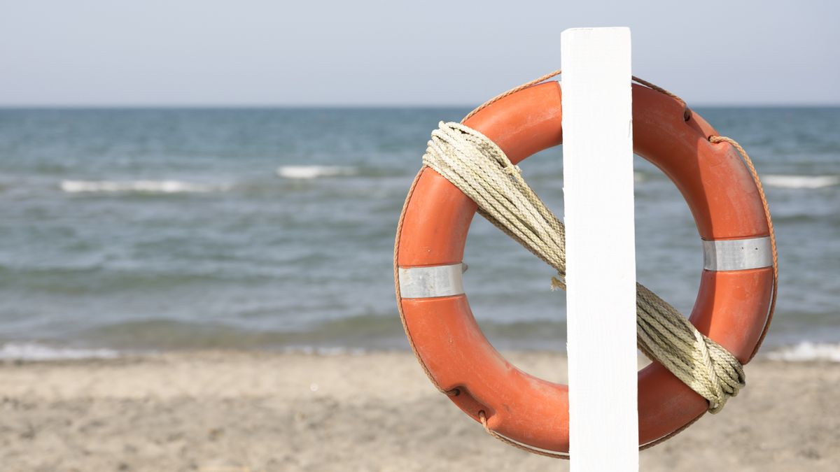


YOGYAKARTA - Our country has a very abundant marine wealth, because the sea area is so wide and almost rivals the land. If you look at the area of the territory consisting of 5,445,675 km2 land with a sea area of 3,544,744 km2. This time we will understand the territorial sea boundaries of the Indonesian state, see until they are finished, yes!
When viewed from the numbers above, the ocean area reaches 2/3 of its land area. Indonesia, which is included in the Asian continent, also borders other countries, both in the oceans and land.
The territorial sea is one of the boundaries in the marine area that Indonesia has. What are the limits? Then is only the territorial sea being a limitation for marine areas? What about restrictions on land areas? Follow the explanation.
What Is A Territorial Sea?
The definition of territorial sea is an area of sovereignty owned by a good country, it is from the coast which is the mainland to the inland waters. Especially for Indonesia, which has very large sea areas, to territorial seas, including sea routes.
The route is directly adjacent to the waters of the archipelago or internal waters. The area of sovereignty that is the boundary for the region is not only the interior of the sea but also covers the airspace above the sea.
Not only Indonesia, but countries that have territorial seas are the Philippines and also Japan. Sovereignty from the territorial sea is determined by the UN Agreement on marine law. Where the calculation comes from the width of the coastal water belt.
The width of the zone can be extended to a maximum of 12 nautical miles or for 22.224 kilometers from the seabed. After knowing that the territorial sea is an area of sovereignty in the sea to the air above the sea, then what about what Indonesia has?
Indonesia is one of the archipelago countries that has a territorial area of 8 million km2 and a coastline length of up to 81,000 kilometers. The population living in coastal areas also reaches more than 40 million.
Judging from this matter, the sea is an important livelihood for most Indonesians, especially those living in coastal areas. In order for fishermen's livelihoods not to be lost, the state is obliged to protect areas on sea borders with other countries.
The reason is that there are still many foreign fishermen who are looking for fish in Indonesian waters. Foreign communities are not allowed to take fish and enter the boundaries of the country's sovereign area without permission. Catching fish in Indonesian sea areas without permission is an illegal act.
As Indonesians, you need to know the maritime boundaries that Indonesia has. The area of the sea area owned by Indonesia is recognized by the United Nation Convention of The Sea or the 1982 UNCLOS as the Archipelago Insight.
SEE ALSO:


Territorial Sea Boundaries
Indonesia's territorial sea limit is the limit that is drawn from the lowest seaside baseline when the sea recedes. The length of the line drawn towards the high seas is 12 miles. In the sea zone which is included in this line, Indonesia has full sovereignty.
This sovereignty includes marine areas, seabed to subsoil or subsoil soil and air above the sea. Moreover, all types of natural resources contained in it are owned by Indonesia.
The territorial sea area is 282,583 km2 where not only has it, Indonesia also has an obligation to ensure the implementation of the right to peace. Especially for international shipping that wants to pass through archipelagic and traditional routes. This obligation is regulated in Article 49.52 and also 53 KHL in 1992.
In addition, you must also know that the Potential of the Indonesian Sea is Optimized through the Blue Economy.
So after we understand the territorial sea boundaries of Indonesia, see other interesting news on VOI.ID, it's time to revolutionize news!
The English, Chinese, Japanese, Arabic, and French versions are automatically generated by the AI. So there may still be inaccuracies in translating, please always see Indonesian as our main language. (system supported by DigitalSiber.id)
Popular


