

JAKARTA - News of the postponement of the 2024 election, the Russian invasion, the COVID-19 pandemic, and the MotoGP event have enlivened our daily information. All of that makes the weather issue not a priority.
But when we want to leave the house, the thing we most often observe is weather conditions. And to get weather forecast information, we can't always monitor sky conditions. To get better weather forecast information, we look at the predictions of the Meteorology, Climatology and Geophysics Agency (BMKG).
BMKG is an institution that provides daily weather forecasts. Although it is called a predictive forecast, it is certainly not 100 percent accurate. However, the BMKG predictions are still important and useful as a guide for our activities.
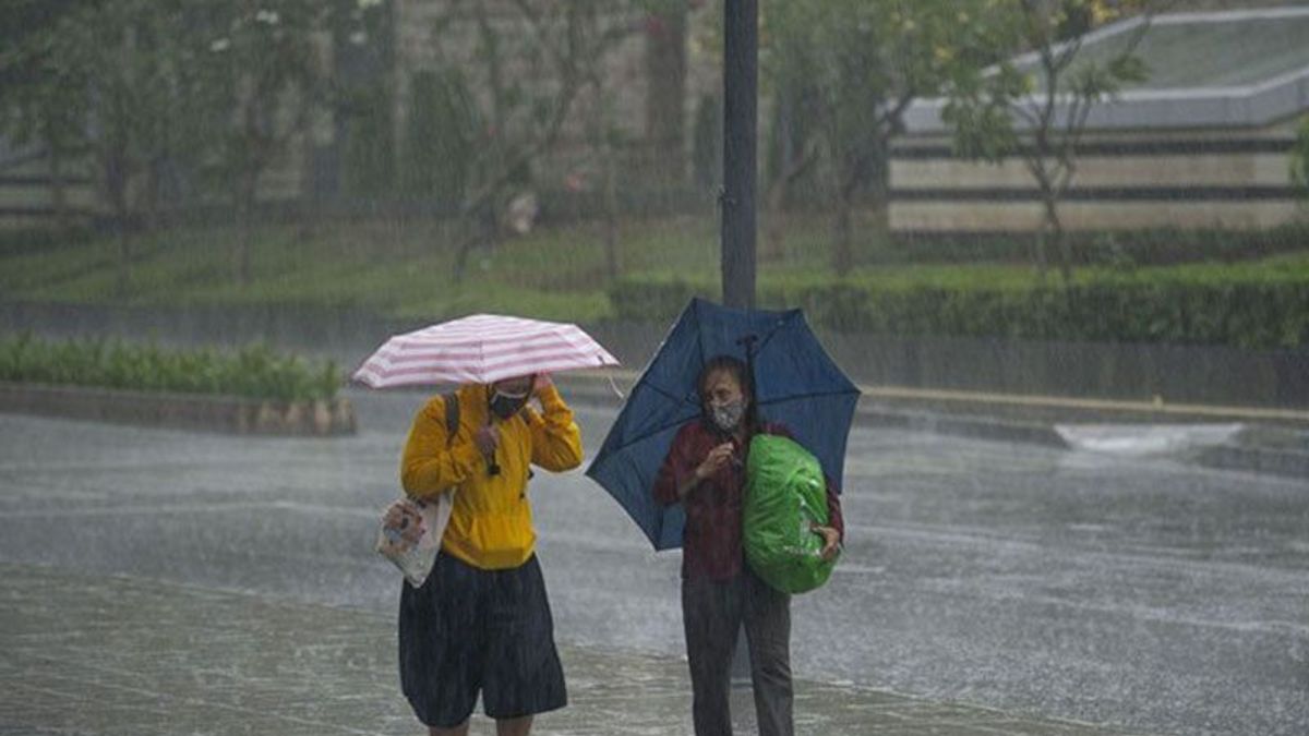
If BMKG informs about an increase in weather extremities, it means that it is not ordinary information. It is a warning that we are careful and vigilant in preparing ourselves, because it is related to the potential for hydrometeorological disasters.

Quoted from the BMKG page, the coordinator at BMKG, Supari, said the ENSO (El Nino Southern Oscillation) index is currently minus 0.8. This is an indicator that La Nina, which is associated with rainfall, is still present even though it is weak.
The ENSO index will gradually become neutral in April 2022. This means that we must be vigilant against rainfall for the next month. Rain with intensity above 100 mm per day is still likely to occur until May 2022. Rain below 100 mm per day is expected to occur in most parts of Indonesia after we enter June 2022.
For March 2022, areas in South Sumatra, Lampung, parts of West Java, Central Java, East Java, West Nusa Tenggara (NTB), North Kalimantan, East Kalimantan, South Sulawesi and Papua are estimated to still experience high rainfall.
Yun Kyung-sook and his team from Pusan National University, South Korea, in a research journal published in Communications Earth and Environment in February 2021, said that in the future the scale of ENSO will be more extreme. This triggers more extreme weather differences. According to Yun and team, heavy rainfall in the tropics is usually associated with lots of thick clouds and lightning.
"Our climate model predicts that the difference between El Nino and La Nina-related tropical precipitation will increase over the next 80 years, although the temperature difference between El Nino and La Nia may change only slightly in response to global warming," they wrote.

Extreme weather has triggered catastrophic floods, and forest fires with increasing frequency and scale.
The number of weather-related disasters in Indonesia continues to increase. Based on data from the National Disaster Management Agency (BNPB), the frequency of tornadoes has increased by 3.5 times in the last 10 years. In 2011 there were 441 tornadoes that hit the territory of Indonesia, in 2016 it was 663 times and in 2021 it was 1577 times.
Weather and extreme temperatures are not only life threatening, they also threaten food sources, both on land and at sea. Higher temperatures and increasingly erratic rains have reduced crop productivity. Meanwhile in the sea, tropical coral reefs are home to a variety of fish species that will definitely not survive if ocean temperatures continue to rise.
News about increasing weather extremities is not ordinary information, in the spirit of continuing to remind us, so that we are more careful and vigilant in preparing ourselves to face the consequences of extreme weather.
The English, Chinese, Japanese, Arabic, and French versions are automatically generated by the AI. So there may still be inaccuracies in translating, please always see Indonesian as our main language. (system supported by DigitalSiber.id)


