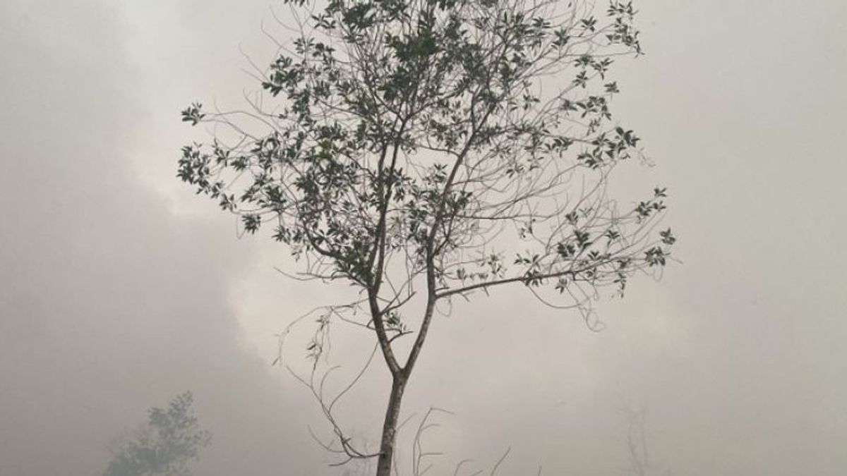


The Center for Disaster Management Operations Control (Pusdalops-PB) of the Regional Disaster Management Agency of South Kalimantan Province (BPBD South Kalimantan) recorded 184 hectares of forest and land fires (Karhutla) hitting the local area.
The forest and land fires area came from 2,506 hotspots spread throughout the South Kalimantan region.
"Every day we deploy BPBD personnel to patrol, those who submit to the main post if there is a hotspot in the field," said Raden Suria Fadliansyah in Banjarbaru as reported by ANTARA, Monday, June 26.
Based on Pusdalops-PB daily data, the two areas are still the largest forest and land fires, namely Banjarbaru City as many as 95 hectares, and Tanah Laut Regency with a total of about 75 hectares.
"One city and four districts have so far zero cases of forest and land fires," he said.
Areas that are free from forest and land fires are Banjarmasin City, Hulu Sungai Selatan Regency, Hulu Sungai Tengah, Tanah Bumbu Regency and Kotabaru Regency.
Furthermore, the Banjar Regency area of forest and land fires is around 12 hectares more, while five districts experience small-scale forest and land fires of no more than 2.5 hectares each.
Raden explained that five small-scale forest and land fires, including Tabalong Regency, Hulu Sungai Utara Regency, Barito Kuala Regency, Tapin Regency and Balangan Regency.
"The personnel on duty always ensure that the hotspots do not spread widely," he said.
The English, Chinese, Japanese, Arabic, and French versions are automatically generated by the AI. So there may still be inaccuracies in translating, please always see Indonesian as our main language. (system supported by DigitalSiber.id)
العلامات الأكثر شيوعًا
#Prabowo Subianto #السنة الجديدة #pdip #هاستو كريستيانتو #ناتارو #عيد الميلادجمع