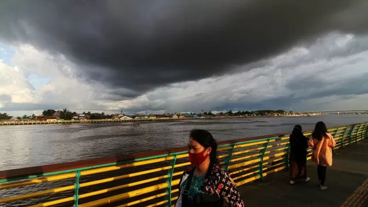
JAKARTA - The Meteorology, Climatology and Geophysics Agency (BMKG) revealed that there will be one additional phenomenon that will make the potential for extreme weather more intense in Indonesia until early 2023.
Head of BMKG Dwikorita Karnawati said that his party had issued potential extreme weather that could occur within a week from December 21 to January 1, 2023.
During that period, there were at least 4 phenomena in the atmosphere, or phenomena leading to extremes that occurred simultaneously, strengthening each other.
"For this reason, we convey the first early warning on December 21, the potential for extreme weather during the Christmas New Year period," said Dwikorita during a virtual press conference, Tuesday, December 27.
Today, Dwikorita said BMKG had evaluated and it turned out that the prediction or estimate was consistent or in accordance with existing events.
"Even since yesterday we have detected an additional new phenomenon that can certainly affect the dynamics of the weather in Indonesia," he said.
"So we need to update the dynamics of the atmosphere at this time based on the latest analysis, the dynamics of the atmosphere around Indonesia still have a significant potential for increased rainfall in several areas in the next week," continued Dwikorita.
Dwikorita explained, from December 27 to January 2, atmospheric conditions can trigger an increase in rainfall.
He said the intensity was getting stronger, namely the Asian Monsoon, which in the last few days has the potential for hail from cold air originating from the Tibetan highlands in Asia.
"Also the phenomenon of cross-equator flow that can increase the growth of rain clouds more intensively. Because there were three phenomena of Asian Monsun, cold air rush, a trans-equator flow phenomenon that could increase the growth of rain clouds more intensively in the western, central and southern parts of Indonesia," he explained.
Dwikorita said that the excitement of Asian cold air is a common phenomenon when the Asian monsoon is active. Where it indicates the potential for a cold new mass flow from the Asian region to the South.
The impact of the emergence of the chills increases the potential for rainfall in western Indonesia if it is accompanied by the Cross-Equatorial Northernly Surge phenomenon or equatorial cross-current," he said. "It is also accompanied by cross-equatorial flows that indicate that there is a flow of cold air masses from the north that enters the territory of Indonesia across the equator," added Dwikorita.
Dwikorita added that the impact of the chill or cold air room temperature from Asia accompanied by equatorial cross-currents could have an indirect impact on increasing rainfall.
"This is very important wind speed around the southern part of Indonesia, the equator. According to the prediction on December 21, this high wind speed that has occurred can reach more than 40 knots and can still occur," he concluded.
The English, Chinese, Japanese, Arabic, and French versions are automatically generated by the AI. So there may still be inaccuracies in translating, please always see Indonesian as our main language. (system supported by DigitalSiber.id)


