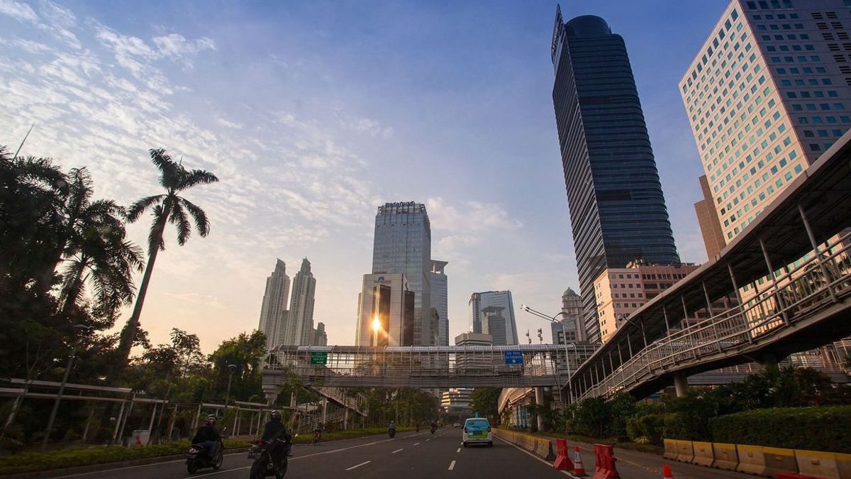


JAKARTA - The Meteorology, Climatology and Geophysics Agency (BMKG) forecasts sunny cloudy weather in DKI Jakarta on Saturday, July 17. Meanwhile in Lombok there will be high wave potential.
Based on the website from the BMKG which was monitored in Jakarta, Saturday morning, the weather in the DKI Jakarta area, starting from West Jakarta, Central Jakarta, South Jakarta, East Jakarta, North Jakarta and the Thousand Islands in the morning was cloudy.
Likewise, the weather during the day and night in the six regions is predicted to be cloudy. The air temperature ranges from 25 degrees to 34 degrees Celsius, such as in West Jakarta, South Jakarta and East Jakarta.
Meanwhile, Central Jakarta and North Jakarta have temperatures ranging from 26 degrees to 33 degrees Celsius. Meanwhile, the Thousand Islands range from 28 degrees to 30 degrees Celsius. The humidity level in Jakarta is estimated to be in the range of a minimum of 50 to a maximum of 85 percent.
")
The BMKG conveyed an early warning to the public to be aware of wave heights reaching more than two meters in the North and South Lombok Straits, West Nusa Tenggara Province.
The BMKG in its official website monitored in Jakarta, Saturday said, in addition to waters in West Nusa Tenggara Province, high waves will also occur in other Indonesian waters, namely the northern part of the Malacca Strait, North Sabang waters, West Aceh waters to the Mentawai Islands, P. Enggano - Bengkulu, West Lampung waters, West Indian Ocean Sumatra, western and southern Sunda Strait, southern waters of Java to Sumba Island.
West Sumba Strait, Sawu Sea, southern waters of Sawu Island - Rotte Island - Kupang, South Indian Ocean of West Java to NTT, Sulawesi Sea, North and South waters of North Sulawesi, Kep. Sitaro, Bitung - Likupang waters, Sangihe Islands waters - Talaud Islands, Maluku Sea.
In addition, in the northern waters of Halmahera, the waters of Sorong, the Pacific Ocean north of Halmahera to Papua, the Banda Sea, the southern waters of Kep. Babar - Tanimbar Islands, Southern waters of Kai Islands - Kep. Aru, Arafuru Sea. The height of sea or water waves is estimated at 2.5 meters to 4 meters.
. The Meteorology, Climatology and Geophysics Agency (BMKG) issued an early warning of the potential for high waves in the range of 4-6 meters that occurred in the waters south of Banten and the Indian Ocean. (Intermediate Doc)")
BMKG Deputy for Meteorology, Guswanto in a press release, Thursday (15/7) said the results of the BMKG analysis showed that unstable atmospheric dynamics in the next few days could increase the potential for rain cloud growth in several parts of Indonesia, especially in parts of Indonesia. middle and east.
This condition, he continued, was strengthened by the active phenomenon of the Madden Julian Oscillation (MJO), the Equatorial Rossby wave, and the Kelvin wave in Indonesian territory.
In addition, the formation of bends and confluence and slowing of wind speed (convergence) can result in increased potential for rain cloud growth in several parts of Indonesia.
Based on an analysis of the development of atmospheric dynamics, said Guswanto, BMKG predicts that in the next week period the potential for extreme weather and rainfall with moderate and heavy intensity which can be accompanied by lightning/lightning and strong winds has the potential to occur in several areas.
Among other things, on 16-18 July 2021: North Sulawesi, Gorontalo, Central Sulawesi, Southeast Sulawesi, South Sulawesi, North Maluku, Maluku, West Papua, and Papua. On 19-21 July 2021: Bengkulu, South Sumatra, Banten, West Java, Central Kalimantan, Southeast Sulawesi, Maluku, West Papua, and Papua.
On 22-23 July 2021: Maluku, West Papua, and Papua. Therefore, the BMKG urges the public to remain alert to the potential for extreme weather in the next week (sporadic, heavy, and short duration rains, accompanied by lightning and strong winds, even hail), which have the potential to cause hydrometeorological disasters in the form of floods, floods. flash floods, landslides, strong winds, and cyclones, especially for people who live and live in areas prone to hydrometeorological disasters.
Illustration of layer wind analysis. ANTARA/HO/BMKG Jambi
The English, Chinese, Japanese, Arabic, and French versions are automatically generated by the AI. So there may still be inaccuracies in translating, please always see Indonesian as our main language. (system supported by DigitalSiber.id)