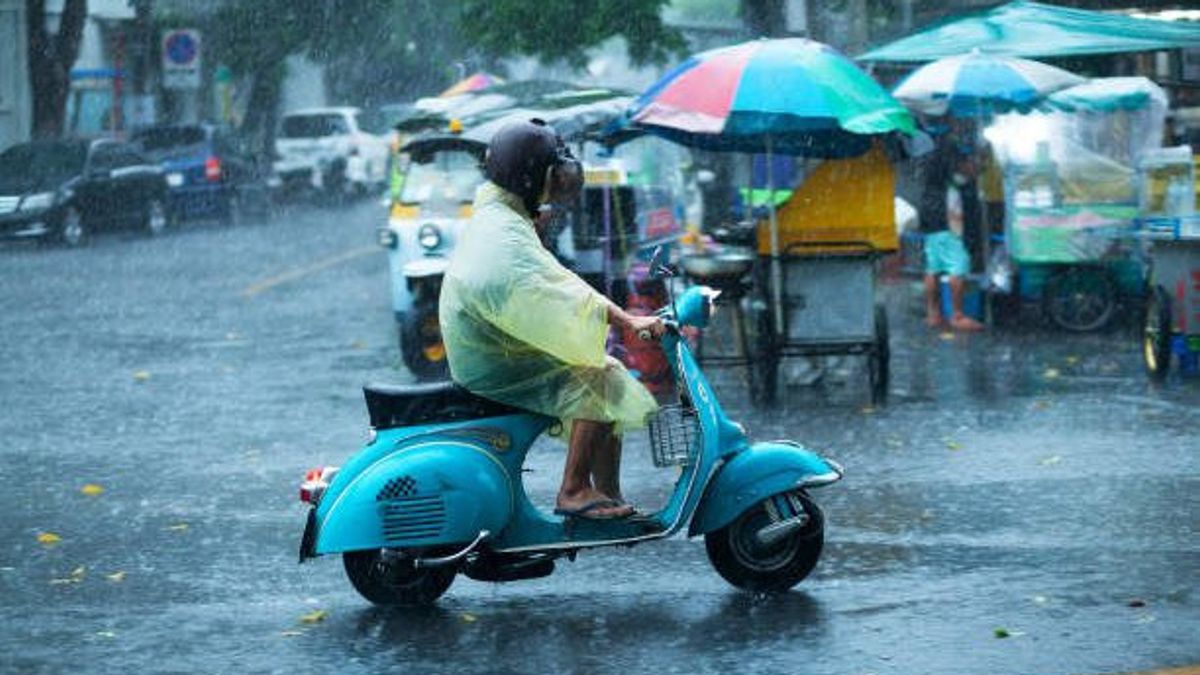
JAKARTA - The Meteorology, Climatology and Geophysics Agency (BMKG) has asked the public to be aware of the two tropical cyclone seeds around Indonesia that have the potential to affect the weather in the next few days.
BMKG Deputy for Meteorology Guswanto said the two cyclone seeds, namely the seeds of tropical cyclone 98S which were observed in the Arafuru Sea and the seeds of tropical cyclone 90W in the Pacific Ocean north of Papua.
He said the seeds of cyclone 98S were at 8.4 south latitude and 132.0 east longitude with maximum wind speed around the system reaching 20 knots or 37 km per hour with air pressure at its center reaching 1004.0 millibar (mb).
"The seeds of Cyclone 98S can occur indirect impacts in several parts of Indonesia," he said in Jakarta, Friday, April 7, which was confiscated by Antara.
He revealed that in the next 24 hours the seeds of cyclone 98S can have an indirect impact in the form of rain with moderate to heavy intensity in the regions of East Nusa Tenggara, Maluku, North Maluku, West Papua, and Papua.
Another indirect impact, namely strong winds in the regions of East Nusa Tenggara, West Papua, and Papua.
In addition, it also causes a wave height of 1.25-2.5 meters in the southern Banda Sea, the eastern northern Banda Sea, the northern waters of the Sermata Islands-Babar Islands, the waters of the Tanimbar Islands, the Kai Islands-Aru waters, the Kaimana-Agats waters, the central-east Arafuru Sea.
For higher waves in the 2.5-4 meter range in the southern waters of the Sermata Islands-Babar Islands, the western Arafuru Sea, the Arafuru Sea, east of the Aru Islands. For a wave height of 4-6.5 meters in the western Arafuru Sea.
For tropical cyclone seeds 90W, Guswanto said it was at 4.9 north latitude and 139.5 east longitude with maximum wind speed around the system reaching 15 knots (30 km per hour) and air pressure reaching 1007 mb with the system moving slowly to the northwest.
Guswanto revealed that the indirect impact of the 90W cyclone seeds was rain with moderate to heavy intensity in North Maluku, West Papua, and Papua. Then, strong winds in North Maluku, West Papua, and Papua areas.
The 90W cyclone seeds also have the potential to cause a wave height of 1.25-2.5 meters in the waters of the northern Sula Islands, the southern Maluku Sea, the southern waters of North Sulawesi, Bitung-Likupang waters, the waters of the Sitaro Islands, and the eastern Seram Sea.
Guswanto said that the two tropical cyclone seeds have a low-category opportunity to become a tropical cyclone in the next 24 hours.
Regarding the indirect impact of the two tropical cyclone seeds, Guswanto appealed to residents, especially in areas that have been given warnings to increase vigilance and prepare mitigation efforts against heavy rains, strong winds and high waves and bad weather conditions around them.
The English, Chinese, Japanese, Arabic, and French versions are automatically generated by the AI. So there may still be inaccuracies in translating, please always see Indonesian as our main language. (system supported by DigitalSiber.id)
