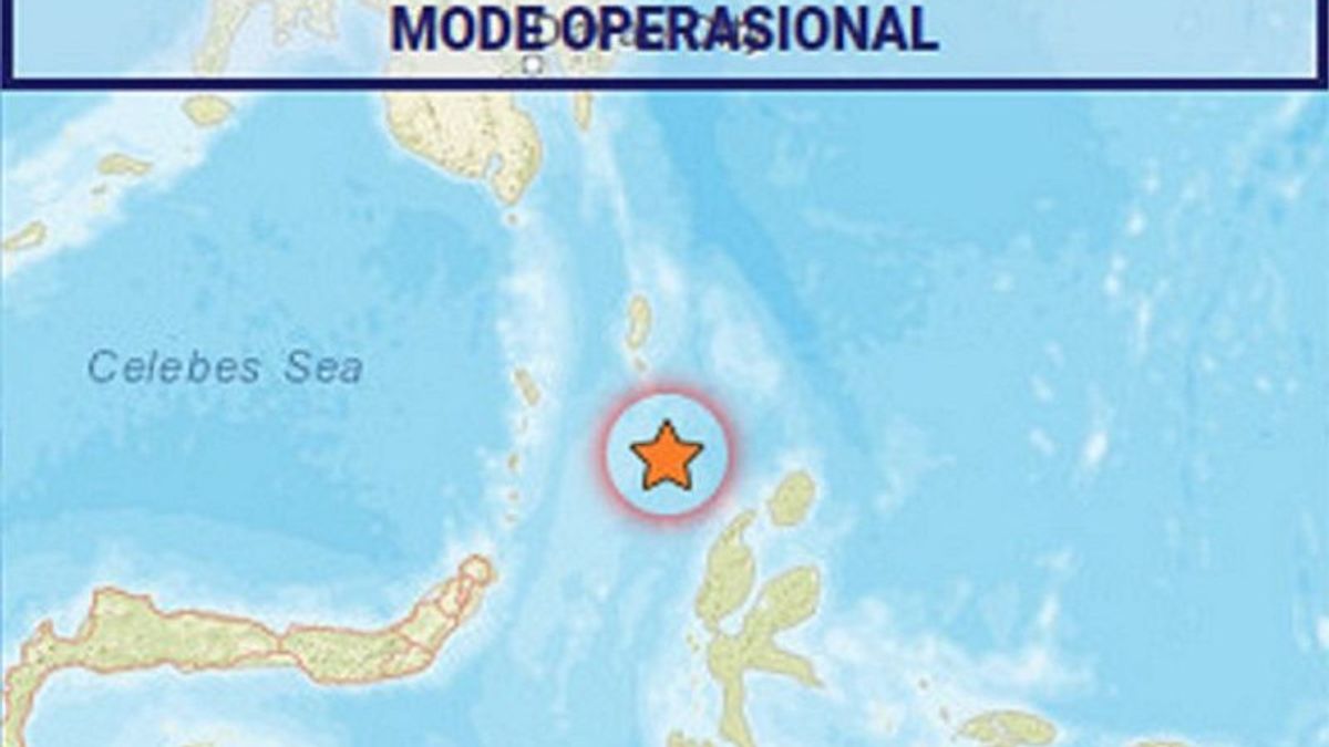
The Meteorology, Climatology and Geophysics Agency (BMKG) said a 7.0 magnitude tectonic earthquake that occurred south of Melonguane, Talaud Islands Regency, North Sulawesi, was caused by rock deformation in the Maluku Sea plate.
"If you pay attention to the location of the epicenter and the depth of the hypocenter, the earthquake that occurred was an intermediate type of earthquake triggered by rock deformation in the Maluku Sea plate," said Head of the BMKG Earthquake and Tsunami Center Daryono in a release, Antara, Wednesday, January 18.
According to him, the results of the analysis of the source mechanism show that the earthquake has a sliding mechanism (strike-slip).
The earthquake was impacted and felt in the Talaud Islands Regency area, Sangihe Islands Regency, Sitaro Islands Regency, Tidore City with an intensity scale of III-IV MMI (vibrationality felt real in the house, vibration felt as if a truck had passed).
Then in the areas of Minahasa Regency, Manado City, North Minahasa Regency, Bitung City, Ternate City, Sofifi City, East Halmahera Regency, Southeast Minahasa Regency, South Minahasa Regency, East Bolaang Mongondow Regency, and South Bolaang Mongondow Regency.
Furthermore, West Halmahera Regency, North Halmahera Regency, Bolaang Mongondow Regency, Banggai Islands Regency with an intensity scale of III MMI (vibrationality felt real in the house, vibration felt as if a truck had passed).
Meanwhile, in Gorontalo City with an intensity scale of II MMI (vibrationality was felt by several people, light objects that were hung swayed).
"The modeling results show that the earthquake has no potential for a tsunami," he said.
As of 14.10 WIB, the results of BMKG monitoring showed 10 aftershock activity with a magnitude of 3.8 to 5.3.
BMKG hopes that the community will remain calm and not be influenced by issues that cannot be justified, avoiding buildings that are cracked or damaged by the earthquake.
Furthermore, checking and ensuring that the residential buildings are earthquake-resistant enough, or that there is no damage caused by earthquake vibrations that endanger the stability of the building before returning to the house.
He also hopes that the public will ensure that official information only comes from BMKG which is distributed through verified official communication channels.
At 13.06.14 WIB, the Maluku Sea region was rocked by tectonic earthquakes, the results of the BMKG analysis showed the earthquake had updated parameters with a magnitude of 7.0. The epicenter of the earthquake was located at coordinates 2.80° LU, 127.03° BT or precisely located at sea at a distance of 124 kilometers south of Melonguane, at a depth of 71 kilometers.
The English, Chinese, Japanese, Arabic, and French versions are automatically generated by the AI. So there may still be inaccuracies in translating, please always see Indonesian as our main language. (system supported by DigitalSiber.id)


