

JAKARTA - The Meteorology, Climatology and Geophysics Agency (BMKG) predicts that Padang, Jakarta, Semarang, Denpasar and other parts of Indonesia will experience cloudy weather today, Wednesday, November 30.
Citing the BMKG page, the potential for cloudy weather during the day will occur in Bengkulu, Yogyakarta, Semarang, Samarinda, Bandar Lampung, Pekanbaru, Mamuju, Manado, Padang, and Palembang. However, the weather in Ternate will be thick cloudy.
Sunny cloudy weather is expected to occur in Denpasar, Serang, Gorontalo, Jambi, Tarakan, and Jayapura City during the day.
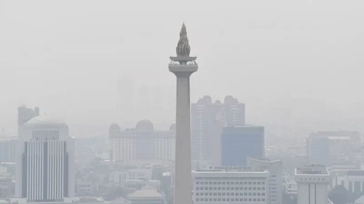
Only Jakarta in the afternoon is expected to experience sunny weather.
Furthermore, BMKG predicts that light rain will be present in Banda Aceh, Palangkaraya, Tanjung Pinang, Kupang, Manokwari, and Kendari during the day.
The weather in Bandung, Surabaya, Pontianak, and Medan has the potential to experience moderate rain.
Heavy rain accompanied by lightning and lightning during the day has the potential to occur in Banjarmasin, Pangkal Pinang, Ambon, Mataram, and Makassar.
At night, cloudy weather will occur in Banda Aceh, Serang, Yogyakarta, Semarang, Surabaya, Pangkal Pinang, Bandar Lampung, Mataram, Manokwari, and Kendari.
BMKG stated that the temperature in a number of areas would reach 18-33 degrees Celsius, with a humidity level of 55-100 percent.
The National Disaster Management Agency (BNPB) appealed to all parties to continue to be aware of extreme weather because the potential for hydrometeorological disasters is expected evenly distributed. The peak of the rainy season will occur in December.
Acting Head of the BNPB Disaster Data, Information and Communication Center Abdul Muhari said that the distribution of the weather, especially rain clouds, in the past week which began from November 21-26, 2022, continued to move back and forth from Sumatra to Papua.
This gives us an idea that normally, on a monsoon basis or seasonal basis we will enter the rainy season. This means that the peak of the rainy season in Indonesia is from December to February," he said, quoted by Antara.
Although the peak only occurred in December, the rain, which for the last two months seemed to fall heavier and faster, was caused by, among others, the Indian Ocean Dipole (IOD) or a negative minor index.
This causes clouds that convex the rain to become thicker and strengthen the intensity of rain falling throughout Indonesia with almost even fluctuations.
"So that in December we still have to continue to be vigilant with the potential for high intensity rain and potential disasters from hydrometeorological aspects such as floods, flash floods and landslides," he said.
The English, Chinese, Japanese, Arabic, and French versions are automatically generated by the AI. So there may still be inaccuracies in translating, please always see Indonesian as our main language. (system supported by DigitalSiber.id)