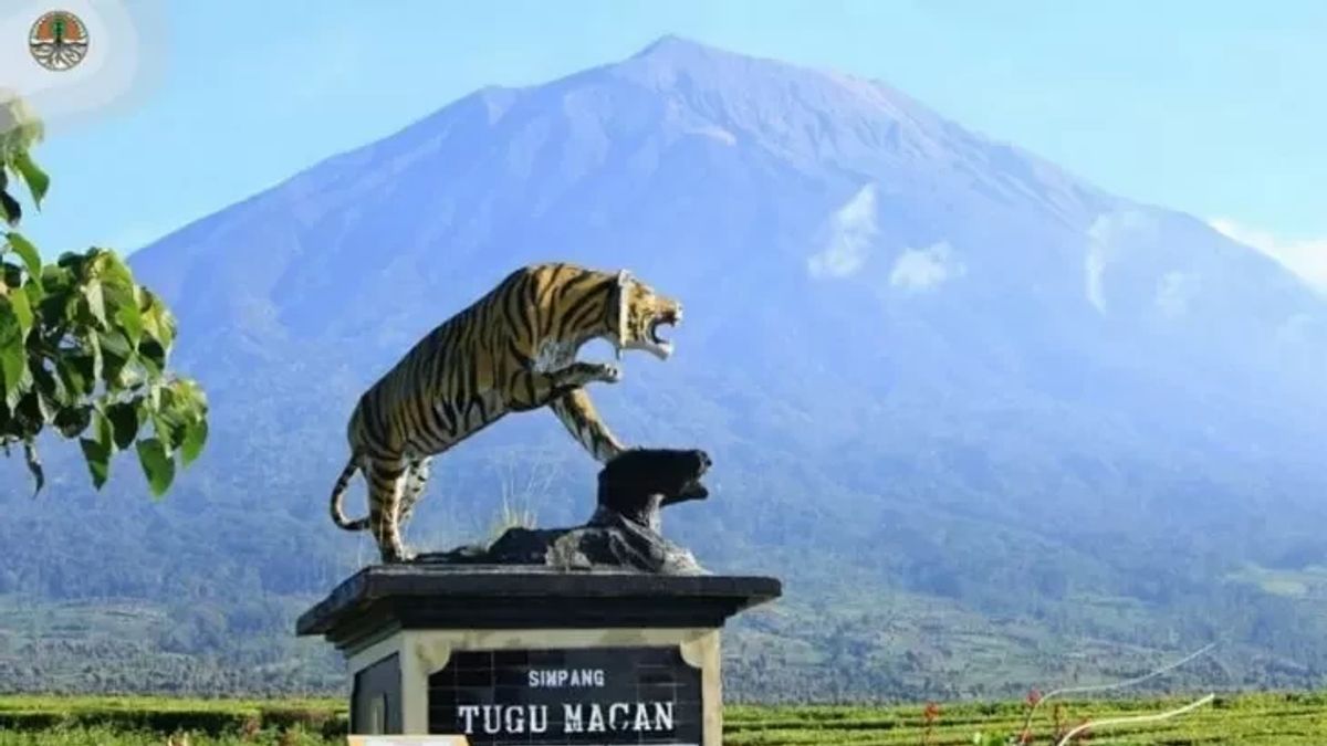
JAMBI - The climbing route of Mount Kerinci through Kersik Tuo, Kerinci Regency, Jambi, is covered in volcanic ash with a thickness of up to 5 centimeters.
"Abu covers the hiking trail to shelter 2. The thickness ranges from 3 to 5 centimeters," said Head of the Management Section of the Kerinci Seblat National Park Center (BBTNKS) Region I, Nurhamidi, when contacted via WhatsApp message, quoted from Antara, Friday 11 November.
BBTNKS, he said, had cleaned the route covered in volcanic ash on November 8-9.
In shelter 3, he added that the smell of sulfur was felt enough to interfere with the sense of smell.
Due to the volcanic activity of mountains that still endanger climbers, Nurhamidi said the hiking trail to the mountain in the Kerinci Seblat National Park area was still closed.
"Until now the hiking trail is still closed," he said.
BBTNKS has temporarily closed all mountain climbing routes on the border of Jambi and West Sumatra since October 19, 2022. This closure is the impact of the increased volcanic activity of the mountain.
Apart from Kersik Tuo, climbing Mount Kerinci can also be reached through Bangun Rejo, South Solok Regency, West Sumatra.
The Kerinci Volcano Observation Post (PGA) recorded an increase in volcanic activity with a height of 3,805 meters above sea level since early October 2022.
Mount Kerinci is still at level II (alert). The Center for Volcanology and Geological Hazard Mitigation (PVMBG) recommends that people, visitors, and tourists around Mount Kerinci not climb the crater at the top of the volcano within a radius of three kilometers from the active crater.
People are prohibited from doing activities within the hazard radius stated in the Disaster Prone Area III map, because the coverage of the area is a red zone.
The English, Chinese, Japanese, Arabic, and French versions are automatically generated by the AI. So there may still be inaccuracies in translating, please always see Indonesian as our main language. (system supported by DigitalSiber.id)


