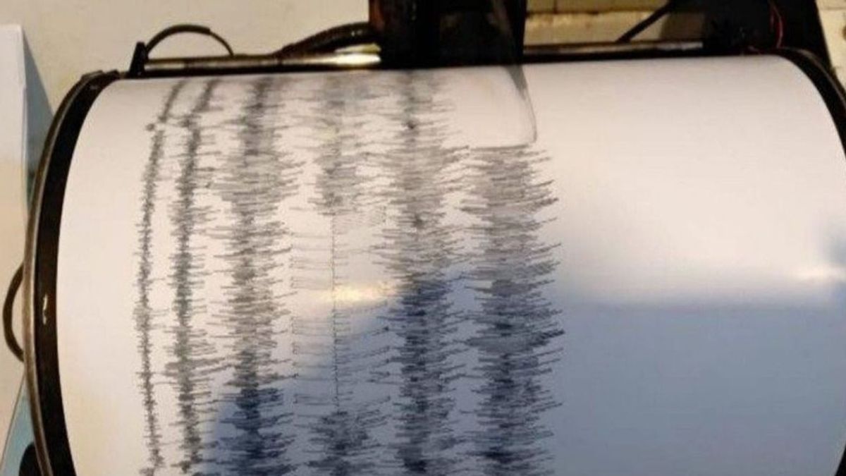


DENPASAR - An earthquake with a magnitude of 3.7 occurred in Bali. The Bali earthquake occurred at a depth of 11 km.
The Meteorology, Climatology and Geophysics Agency (BMKG) reported that the Bali earthquake occurred at 16.09 p.m. Western Indonesian Time (WIB), Monday, July 25. The coordinates of the earthquake were at 8.76 South Latitude-115.28 East Longitude.
VOIR éGALEMENT:


The epicenter of the Bali earthquake, called BMKG, was in the sea 7 km from the sea of South Kuta.
The Bali earthquake was felt on the MMI III Denpasar, III Kuta, III Jimbara, III Gianyar and I-II Klungkung scales.
The English, Chinese, Japanese, Arabic, and French versions are automatically generated by the AI. So there may still be inaccuracies in translating, please always see Indonesian as our main language. (system supported by DigitalSiber.id)