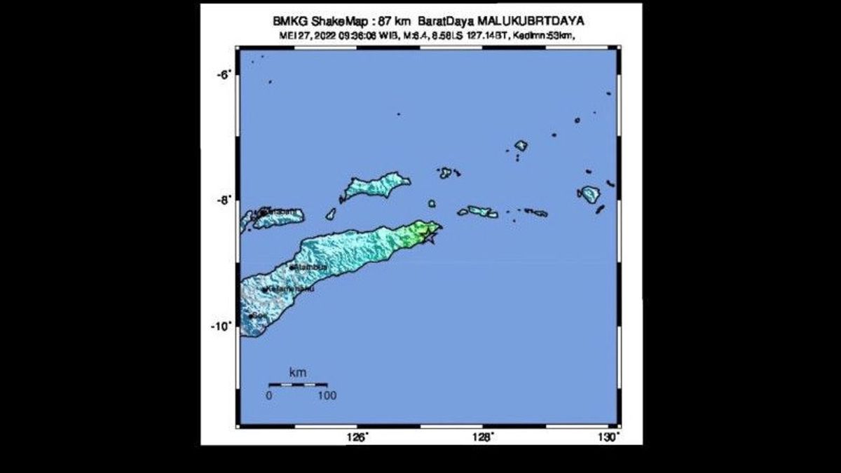
JAKARTA - Coordinator for Earthquake and Tsunami Mitigation of the Meteorology, Climatology and Geophysics Agency (BMKG) Daryono said the 6.4 magnitude tectonic earthquake that occurred in the Southwest Maluku region was caused by rock deformation.
"By taking into account the location of the epicenter and the depth of the hypocenter, the earthquake that occurred was a shallow earthquake due to rock deformation due to the collision between Australia and Timor, right on the old structure of the trough or rench of the Java Trench in the Indian Ocean," Daryono said in a written statement quoted by Antara, Friday, May 27.
He said the results of the analysis of the source mechanism showed that the earthquake, which was centered in the sea at a depth of 53 km, approximately 87 km southwest of Southwest Maluku, had a sliding movement mechanism and had no potential to cause a tsunami.
According to him, the earthquake was felt on a scale of IV to IV MMI in Timor Leste. At that scale, the earthquake shaking was felt by almost all residents, causing many people to wake up.
The tremors caused by the earthquake were also felt in Alor on an intensity scale of III to IV MMI, the vibrations were felt by many people in the house, and in the Kupang area on the II MMI intensity scale, the vibrations were felt by several people and caused light objects that were hung to sway.
Daryono said that according to BMKG monitoring until 10.15 WIB there was no aftershock activity after the earthquake that occurred at 09.36 WIB.
BMKG appealed to residents in the area around the epicenter of the earthquake not to panic but to remain vigilant in case of aftershocks.
The English, Chinese, Japanese, Arabic, and French versions are automatically generated by the AI. So there may still be inaccuracies in translating, please always see Indonesian as our main language. (system supported by DigitalSiber.id)


