

JAKARTA - The Meteorology, Climatology and Geophysics Agency (BMKG) has warned the Banten Provincial Government to be aware of the potential for earthquakes and tsunamis in the area, especially Cilegon City.
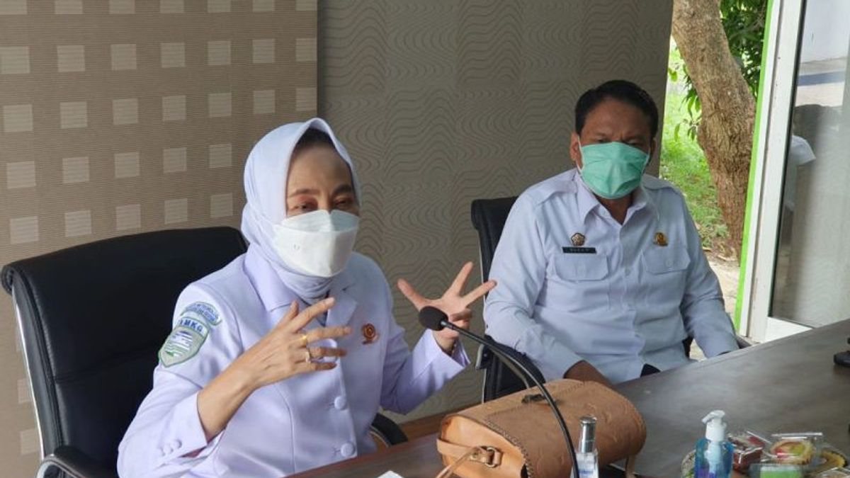
Head of BMKG Dwikorita Karnawati said Cilegon City has a high level of vulnerability to the impact of the earthquake and tsunami.
"The location of Cilegon, which is at the western tip of Java Island, on the edge of the Sunda Strait, is not only strategic but also has a large potential for danger in the event of an earthquake and tsunami," he said, quoted by Antara, Tuesday, February 15.
So far, Cilegon is known as an industrial city because there are many industries in the area
In addition, various vital state objects are located in the area, including the Merak Port, Cigading Habeam Center Port, Krakatau Steel Industrial Estate, Suralaya PLTU, Krakatau Power Power Plant, Krakatau Tirta Industrial Water Treatment Plant, (Lot Plan) Sunda Strait Bridge Construction and (Lot Plan) Sunda Strait Bonded Industrial Area.
Dwikorita said that in the event of a strong earthquake followed by a tsunami, the Cilegon Industrial Estate has potential hazards in the form of technological failure disasters that can cause losses in the form of damage to infrastructure, the environment, as well as injury, disease, and even human death.
"This means that there are multiple threats that endanger the people of Cilegon City and its surroundings when there is a strong earthquake followed by a tsunami," he said.
Dwikorita explained that there are at least four potential sources of earthquakes and tsunamis in the area, namely the Megathrust Zone with the status of being prone to earthquakes and tsunamis, the Mentawai, Semangko, and Ujung Kulon fault zones with the status of being prone to earthquakes and tsunamis, and the Graben Zone of the Sunda Strait with the status of being prone to landslides. seabed, and Mount Anak Krakatau which if erupted can also trigger a tsunami.
Based on the modeling carried out by BMKG, if an earthquake occurs in the Megathrust Zone of the Sunda Strait, there is a potential earthquake strength of up to a magnitude of 8.7.
It is estimated that the Cilegon area will be affected by the intensity level of the VI-VII MMI shock, which can cause mild, moderate, to severe damage.
With a maximum strength of 8.7, the highest potential inundation is estimated at 8.28 meters, which is around Merak Harbor, Cilegon City. The position of the port is in a bay facing a narrow gap (strait) opposite Merak Besar Island, allowing amplification or amplification of tsunami waves in that location.
The tsunami inundation is estimated to have reached a maximum distance of about 1.5 km from the beach in Tegalratu Village, Ciwandan District and Warnasari Village, Citangkil District in Cilegon City, which is a gently sloping area.
"Following disasters due to the earthquake and tsunami also have the potential to occur in the Cilegon industrial area, in the form of fires, distribution of hazardous chemicals, chemical explosions, or oil spills," said Dwikorita.
The English, Chinese, Japanese, Arabic, and French versions are automatically generated by the AI. So there may still be inaccuracies in translating, please always see Indonesian as our main language. (system supported by DigitalSiber.id)