

JAKARTA - Researchers from Ohio State University, United States (US) have shown that signals from SpaceX's Starlink satellite can also function as Global Positioning System (GPS) or GPS navigation. In addition to its main function is broadband internet.
Starlink signals can be used to pinpoint locations on Earth with an accuracy of eight meters. That's comparable to the GPS capabilities of a cell phone, which typically shows a human's place on Earth within 16 feet (4.9 meters), depending on conditions.
Their report is part of growing research into using signals from low Earth orbit (LEO) satellites for navigation, similar to how GPS works. However, the technology isn't going to replace the map app on mobile phones any time soon, and this initial experiment appeared to take 13 minutes to track six Starlink satellites to determine their location on Earth.
But the researchers were able to reach the site without help from SpaceX, and they say the test proves that the method can be used for navigation.
"We took the signal (Starlink) and then we designed a sophisticated algorithm to determine our location, and we showed that it works very accurately," said director of CARMEN (Center for Automated Vehicle Research with Multimodal Assured Navigation), Zak Kassas.
The researchers also emphasize that they do not have access to the actual data sent via satellite, only to information related to the location and movement of the satellites.
"Although Starlink was not designed for navigational purposes, we demonstrated that it is possible to learn parts of the system well enough to use them for navigation."
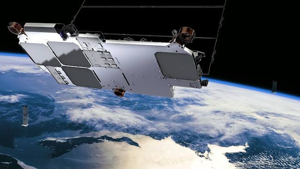
For information, SpaceX has launched more than 1,700 satellites but plans to launch tens of thousands of satellites to expand the capacity and availability of broadband services. The additional satellites may also make it easier to build navigation systems of the type envisaged in the new research.
This was evidenced in Kassas' statement when asked about the prospects for using Starlink satellites to get closer to real-time location results, and about how they envision LEO-based systems being used for navigation when methods and technology are more advanced.
"We are preparing another experiment for real-time position estimation where we will simultaneously use four Starlink satellite signals above us," Kassas said.
"SpaceX's plan to launch tens of thousands of satellites will enable real-time navigation and a much higher degree of accuracy than we have achieved so far," he added.
In the long term, Kassas sees this as a standalone navigation system and not just a complement to GPS, "GPS signals are easily jammed and spoofable and cannot be relied on or used in many environments. We hope that LEO satellites will provide a robust and accurate alternative navigation system if or when the GPS signal is unavailable or interrupted," explained Kassas.
The English, Chinese, Japanese, Arabic, and French versions are automatically generated by the AI. So there may still be inaccuracies in translating, please always see Indonesian as our main language. (system supported by DigitalSiber.id)
Most Popular Tags
#Prabowo Subianto #donald trump #2026 World Cup #Febrie Adriansyah #8791Popular


