

JAKARTA - A number of countries have started to buzz the new normal, or the New Normal, as a way to reopen their people's activities during the corona virus pandemic. As a result, people began to flock back to their activities outside the home.
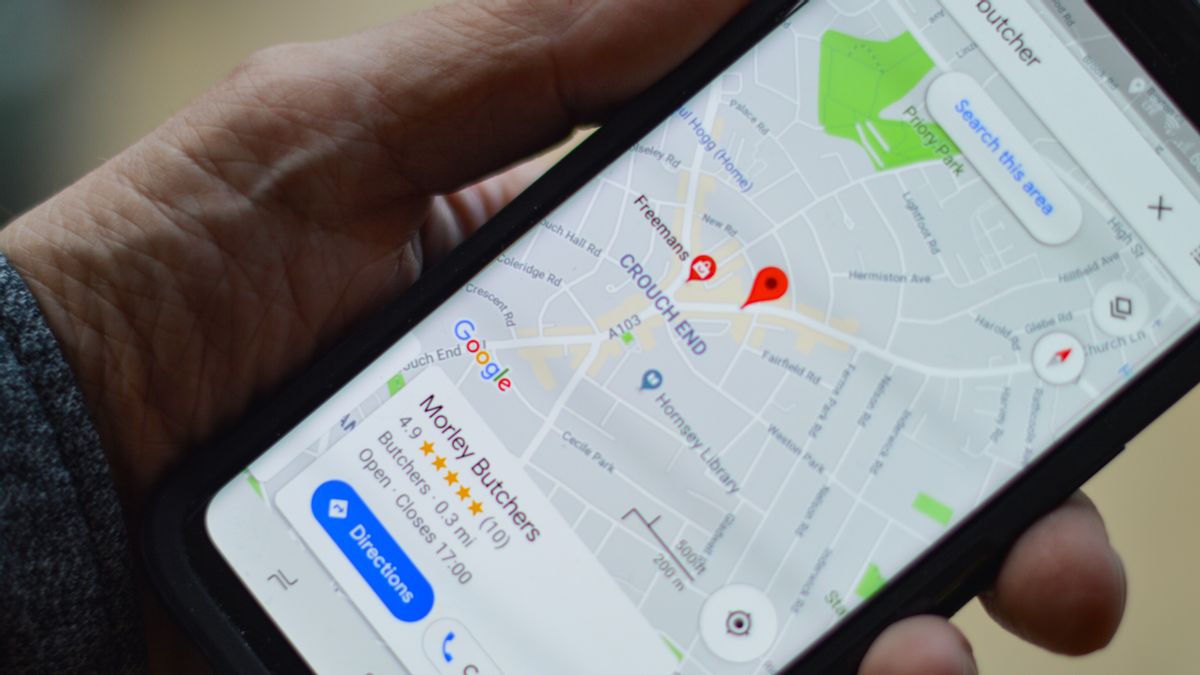
So that people adapt to new normal conditions, Google is again improving the meta data capabilities of its digital map application. Now Google Maps allows users to get information from a number of locations that are the center of crowds, the goal is to avoid the corona virus.
Through Google Maps, users can find out crowded points such as stations, terminals and bus stops which are modes of public transportation. So that users can plan safe travel routes, while minimizing the spread of COVID-19.
"Users simply select the station option on the map (Google Maps) to find out information on the density level of public transport and available departure schedules," said Director of Google Maps Product, Ramesh Nagarajan, in a blog post, Wednesday, June 10.
The new feature is called 'Crowdedness Prediction', where Google will predict the density level of the center of a crowd in public places in real-time. This aims to continue to urge users to comply with health protocols to maintain distance or physical distancing, in order to prevent transmission of the corona virus.

This information is collected based on input from users who are in the area. So that Google can predict the level of crowd from a certain point, including transportation operation schedules.
As for how to view crowd data in one place, it's fairly easy. Google Maps users can write down the station or bus stop they want to go to, to find out when a crowd will occur, either during rush hour or quiet.
Summarized from 9to5Google, this community density feature is only available to Google Maps users in Argentina, Australia, Belgium, Brazil, Colombia, France, India, Mexico, the Netherlands, Spain, Thailand, UK and the US. Google plans to expand its coverage globally in the near future.

In Indonesia alone, users can only find out information in a few places, such as the KRL or MRT stations in Jabodetabek and TransJakarta bus stops. This feature can be used by users to plan travel routes.
For example, the user can enter a point of location to go to. Then select the option 'more info' for example Bekasi Station, later on the bottom of the page will display 'Popular times' of that location.
On that page, you will see a graph of how crowded Bekasi Station is at certain hours. Users can also see Google's prediction results for the next few days, so they can plan travel routes conveniently.
The English, Chinese, Japanese, Arabic, and French versions are automatically generated by the AI. So there may still be inaccuracies in translating, please always see Indonesian as our main language. (system supported by DigitalSiber.id)
Most Popular Tags
#Prabowo Subianto #donald trump #2026 World Cup #Febrie Adriansyah #8791Popular


