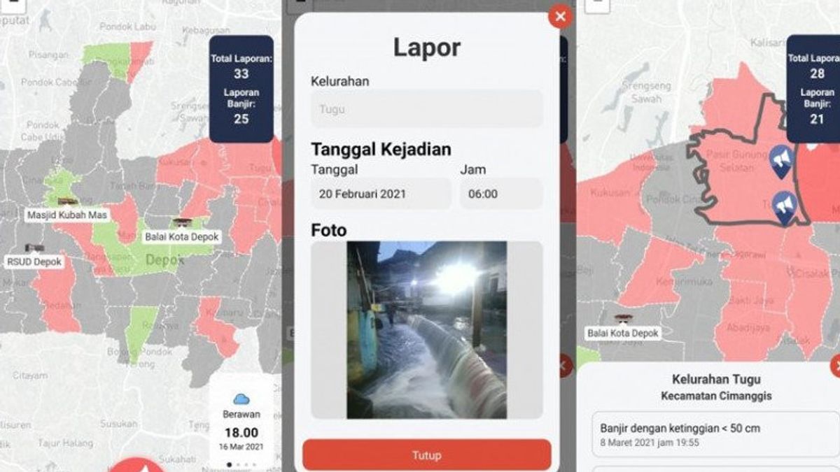
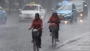
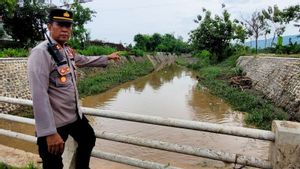
JAKARTA - The University of Indonesia (UI) School of Environmental Sciences (SIL) developed an android-based disaster emergency application. The application called "Depok Flood Report" is able to process data and information related to flood disasters in the form of regional spatial data.
The development carried out by SIL UI with a number of Depok City Regional Apparatus Organizations (OPDs) is expected to establish broader collaboration with academics to increase citizen participation, and form urban resilience based on smart communities.
The Head of the Environmental Science Study Program (Kaprodi) as well as a lecturer who carries the application, Hayati Sari Hasibuan said, the design of this application accommodates the synergy of pentahelix in government, community, academic, business and media relations.
"The SDGs indicator targeted is goal number 11, which is to make cities and human settlements inclusive, safe, resilient and sustainable," said Hayati Sari Hasibuan in a written statement, Tuesday, March 30.
The application, which can be downloaded on the Playstore, features the provision of urban flood information where people can get weather information from time to time, provide reports of flood events that occur in the vicinity, as well as an emergency response menu on important telephone numbers in Depok City.
"The prototype will greatly assist the task of SDA PUPR and the Fire and Rescue Service, in line with the agenda of meetings with the central government, especially on the level of detail of flood conditions in the community," said Herni, representative of BAPPEDA for the Infrastructure and Regional Development Sector of Depok City.
This application has been tested through data input during the floods in February 2021 in Depok City. As many as 25 points from several urban villages that were affected by flooding can be detected through this application.
The Head of TKTI, Diskominfo, Depok City, Tri Uvi, said, "The hope is that the application can be used optimally by both OPDs and the community. It requires coordination between OPDs related to flood management with the support of ICT infrastructure such as servers located at Diskominfo."
Furthermore, the application still needs to be tested for its stress and vulnerability for mass use by 2 million people. This application can be used as support and baseline data for policy formulation for flood management in the future.
The English, Chinese, Japanese, Arabic, and French versions are automatically generated by the AI. So there may still be inaccuracies in translating, please always see Indonesian as our main language. (system supported by DigitalSiber.id)
