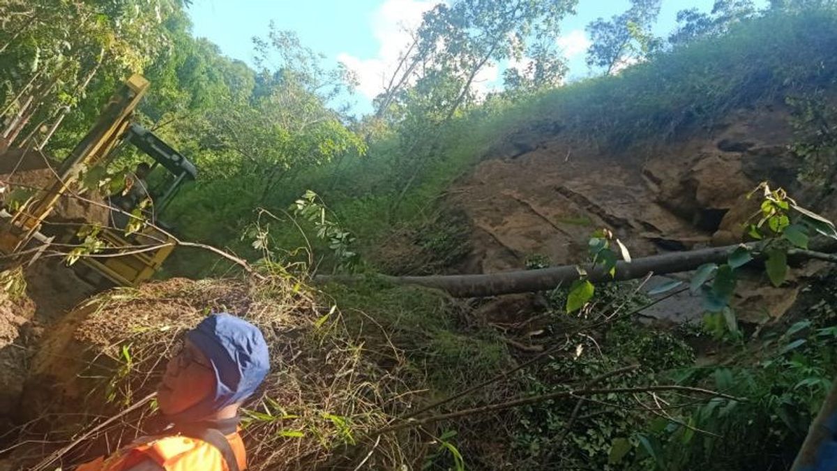


JAKARTA - A total of three areas in Pagaralam City, South Sumatra were mapped by the Regional Disaster Management Agency (BPBD) of Pagaralam City, South Sumatra, with a landslide alert status after rains for the last few days.
The three areas include the Endikat Cliff area in the Atung Bungsu Village, the Lematang area, and the area at the foot of Mount Dempo covering Antan Eight, Dempo Makmur Village, North Pagaralam District.
"Thus, people who live or visit there must be careful and be prepared," said Acting Head of BPBD Pagaralam City Herdensi in Pagaralam, quoted Saturday, October 30.
According to Herdensi, the Endikat area is the main access road connecting Lahat-Pagaralam.
Then for Lematang and Antan Eight are tourist attraction areas, besides that there are also some areas that are used as plantations by local residents who are at an altitude that is prone to landslides.
Because the area has a steepness of more than 45 degrees with soft soil material and old rocks, the potential for shifting soil and causing landslides is very large.
However, vigilance is not limited to just being there, but all areas must be wary of seeing weather conditions that tend to be extreme at this time.
"But the high vulnerability covers the three areas," he added.
The community can detect landslides with several characteristics. For example, if you find a crack in the ground accompanied by water seepage, then you hear the roar of the wind, leave the area immediately.
"That's a characteristic of most before the landslide occurs, if you are in that position, immediately report to the preparedness officer," he said
The English, Chinese, Japanese, Arabic, and French versions are automatically generated by the AI. So there may still be inaccuracies in translating, please always see Indonesian as our main language. (system supported by DigitalSiber.id)
Most Popular Tags
#Prabowo Subianto #donald trump #Febrie Adriansyah #8791 #giias 2026Popular


