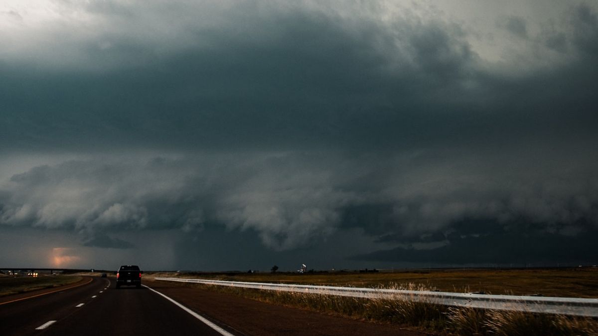
JAKARTA - The Meteorology, Climatology and Geophysics Agency (BMKG) has warned us to be alert to the possibility of extreme weather coming, especially when entering the transition period from the dry to the rainy season.
"Extreme weather has the potential to occur during the transitional season. Starting from rain accompanied by lightning and strong winds and hail," said BMKG Head Dwikorita Karnawati in a written statement, Wednesday, September 22.
The direction of the wind can also change. As a result, it affects the weather conditions, it can suddenly get hot and suddenly it rains, or vice versa.
But in general, said the UGM academic who was born in 1964, sunny weather will occur in the morning followed by cloud growth in the afternoon and ending with rain in the afternoon or evening.
Cumulonimbus (CB) clouds will grow in the early morning to form a cauliflower-like shape that has a grayish color with clear edges. But by late afternoon, the clouds turn dark which can cause rain, lightning and wind.
"Rainfall can be one of the triggers for wet hydrometeorological disasters, such as flash floods and landslides. Therefore, to people living in hilly areas that are prone to landslides, we urge to be vigilant and careful," said the Professor of Environmental Geology and Disaster Mitigation. .
Deputy for Meteorology Guswanto said signs of extreme weather could be felt by people in the Greater Jakarta area. For example, hail accompanied by strong winds occurred around the city of Depok and caused trees to fall and caused some other damage on Tuesday (21/9).
"Unstable local-scale atmospheric dynamics with fairly high connectivity and supported by regional-scale atmospheric dynamics conditions that are quite active in contributing to the formation of rain clouds, are the triggering factors for the potential for extreme weather," said Guswanto.
Based on the analysis of satellite imagery, the extreme weather occurred due to the very active growth of cumulonimbus clouds forming around the Greater Jakarta area from noon to late afternoon and caused very heavy rain.
He further said that extreme weather was also caused by the phenomenon of atmospheric waves that were identified as active around Indonesia, including in Java, Kalimantan, Sulawesi, Maluku and Papua.
The atmospheric wave phenomenon is the Madden Jullian Oscillation (MJO) and the Equatorial Rossby wave which is active around the central and eastern regions of Indonesia and the Kelvin wave which is active around Java and Kalimantan.
Guswanto said that the MJO, the Equatorial Rossby wave and the Kelvin wave are atmospheric dynamics phenomena that indicate the potential for the growth of rain clouds on a wide scale around the active phase area they pass through.
He emphasized that during the next week, almost parts of Indonesia will have the potential to be flooded with heavy rain which can be accompanied by lightning or thunder and strong winds. These areas are Riau, West Sumatra, Jambi, Bengkulu, South Sumatra, Lampung, Banten, West Java, Central Java and East Java.
The next regions that will experience the same thing are West Kalimantan, Central Kalimantan, North Kalimantan, East Kalimantan, South Kalimantan and North Sulawesi, Gorontalo, Central Sulawesi, West Sulawesi, South Sulawesi, Southeast Sulawesi, North Maluku, Maluku, West Papua and Papua.
He appealed to the entire community to be aware of extreme weather during the transition season. This is to avoid the risk of casualties due to extreme weather.
“When the wind is strong, it is better for motorists to pull over first to avoid the risk of falling trees or billboards. Fishermen are also wary of high waves, don't force them to go to sea if the weather is bad. Continue to update information through InfoBMKG to find out weather forecasts throughout Indonesia," he said.
The English, Chinese, Japanese, Arabic, and French versions are automatically generated by the AI. So there may still be inaccuracies in translating, please always see Indonesian as our main language. (system supported by DigitalSiber.id)


