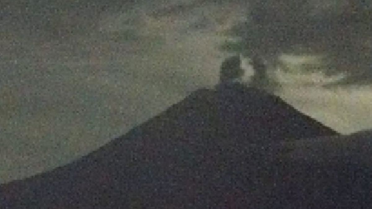


JAKARTA - Acting Head of the Geological Agency Lana Saria said that the activity of Mount Semeru, which has a height of 3,676 meters above sea level (msl), is still high during the last week, so that its status remains at Level III or Alert.
"Semeru in the period of May 8-15, 2026 shows that its activity is still dominated by surface processes," he said as reported by ANTARA, Monday, May 18. According to him, the eruption activity, hot clouds, and lava flows of Mount Semeru are still occurring, but visually rarely observed because it is hampered by foggy weather.
"The accumulation of material from the eruption in the form of eruptions and lava flows and the formation of 'scoria cones' has the potential to become incandescent lava deposits, or even hot clouds," he said.
He said the number of recorded earthquakes showed that Mount Semeru's activity was still relatively high, especially volcanic eruptions, volcanic eruptions, harmonic tremors, and volcanic tremors.
The recording of the flood vibration incident in that period indicates the presence of lava in the river flow upstream of Mount Semeru, especially towards the Besuk Kobokan flow.
Evaluation of the monitoring data shows that the hot clouds that are still occurring today are a response from unstable surface material, not due to magmatic processes.
"Based on the results of thorough analysis and evaluation until May 15, 2025, the level of activity of Mount Semeru remains at Level III or Alert," said Lana.
He explained that currently the volcanic activity of Mount Semeru is at Level III status, so the recommendation is that the public does not carry out any activities in the southeast sector along Besuk Kobokan, as far as 13 km from the peak (eruption center).
Outside this distance, he continued, the public does not carry out activities at a distance of 500 meters from the river bank (river border) along Besuk Kobokan because they have the potential to be hit by the expansion of the hot cloud and lava flow up to a distance of 17 km from the peak.
"The public is prohibited from carrying out activities within a radius of 5 km from the crater/peak of Mount Semeru, because they are prone to the danger of stone throwing (pijar)," he said.
He asked the public to be aware of the potential for hot clouds, lava discharge, and lahar along the river/valley streams upstream of the summit of Mount Semeru.
"Especially along Besuk Kobokan, Besuk Bang, Besuk Kembar, and Besuk Sat, as well as the potential for lava on small rivers which are tributaries of Besuk Kobokan," he said.
The English, Chinese, Japanese, Arabic, and French versions are automatically generated by the AI. So there may still be inaccuracies in translating, please always see Indonesian as our main language. (system supported by DigitalSiber.id)
Popular


