

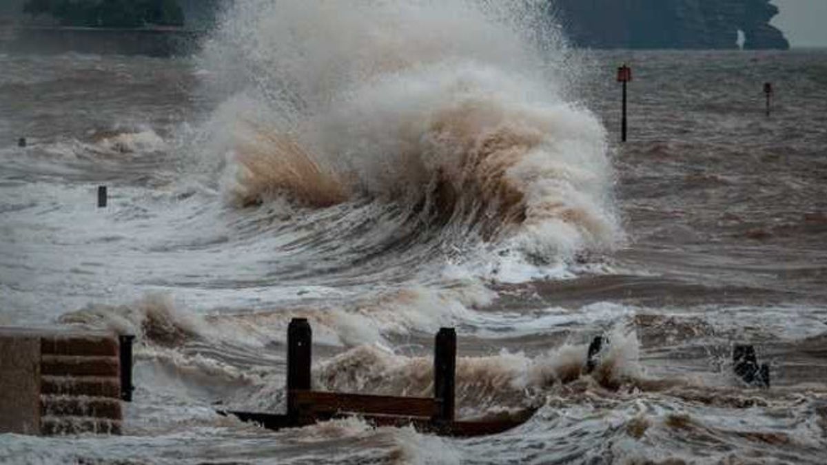


JAKARTA - The Meteorology, Climatology and Geophysics Agency (BMKG) reminds the public and other stakeholders to be aware of the potential for high waves in a number of waters in North Sumatra that can disrupt navigation.
"These high waves have the potential to occur from March 2 to 5, 2026. The sea waves can reach 1.25 to 2.5 meters," said BMKG Praktirawan of the Belawan Maritime Meteorology Station, Dasmian Sulviani in Medan, quoted by Antara, Monday.
He said that the wind pattern in the North Sumatra region is moving from the northwest with a speed of 4-25 knots.
In general, the weather conditions in North Sumatra waters are cloudy to light rain.
High waves are likely to occur in the waters east of the Nias Islands, the waters of the Batu Islands, the western Indian Ocean of the Nias Islands, the waters of the west of the Nias Islands, the waters of the west of the Batu Islands, and the waters of the west of North Sumatra.
This condition is at risk for the safety of navigation of fishing boats if the wind speed reaches 15 knots and the wave height reaches 1.25 meters.
Likewise, with the barge if the wind speed reaches 16 knots and the wave height reaches 1.5 meters.
The English, Chinese, Japanese, Arabic, and French versions are automatically generated by the AI. So there may still be inaccuracies in translating, please always see Indonesian as our main language. (system supported by DigitalSiber.id)
Most Popular Tags
#Prabowo Subianto #donald trump #Febrie Adriansyah #8791 #giias 2026Popular


