

TARAKAN - A tectonic earthquake that occurred on Monday, February 23, at 01:57:46 WITA in the north of Sabah, Malaysia, has no potential for a tsunami in the North Kalimantan (Kaltara) region.
The Meteorology, Climatology and Geophysics Agency (BMKG) stated that the results of the analysis showed that this earthquake had a magnitude of 7.1.
The epicenter is located at 6.94° N; 116.26° E or precisely in the sea about 109 km northeast of Kota Kinabalu (Malaysia), at a depth of about 628 kilometers.
Based on the epicenter location and hypocenter depth, this earthquake is a shallow earthquake due to the deformation activity of the Philippine Sea Plate.
This earthquake has an oblique thrust-fault mechanism.
Based on the analysis of the results of the ground acceleration measurement and the modeling of the shaking map (shakemap).
This earthquake caused tremors in the Nunukan area with an intensity scale of III MMI, namely the vibration is felt in the house. It feels like a truck is passing.
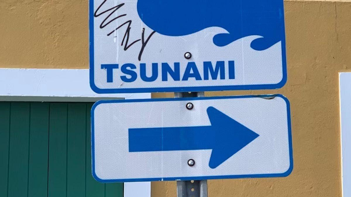
Meanwhile, the Tarakan area with the intensity scale II MMI. The tremor was felt by several people, light objects that were hung were swaying. The results of the modeling show that this earthquake has no potential for a tsunami.
The English, Chinese, Japanese, Arabic, and French versions are automatically generated by the AI. So there may still be inaccuracies in translating, please always see Indonesian as our main language. (system supported by DigitalSiber.id)
Most Popular Tags
#Prabowo Subianto #donald trump #Febrie Adriansyah #8791 #giias 2026Popular


