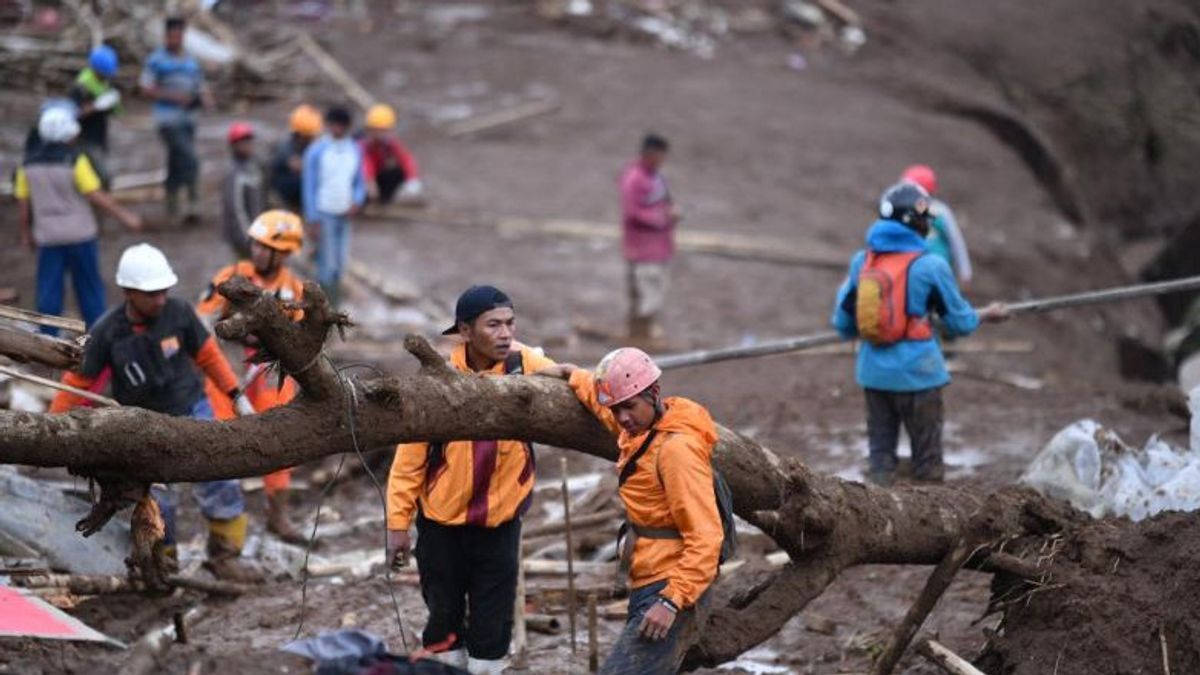


JAKARTA - The Indonesian Engineers Association (PII) expressed its deep condolences for the landslide disaster that hit the residents of Pasir Langu, Cisarua, West Bandung Regency. In the midst of the evacuation process which is still ongoing, PII General Chairman Ilham Akbar Habibie hopes that the victims who have not been found can be evacuated immediately and the affected residents are given strength.
Through its experts, PII is also moving quickly to provide technical recommendations to anticipate the potential for subsequent landslides, given that high-intensity rainfall is predicted to still affect a number of areas in the near future.
Chairman of the Disaster and Climate Change Agency (BKPI) of PII, I Wayan Sengara, emphasized the importance of emergency measures in the form of immediate evacuation for people in vulnerable zones and high-risk slopes. According to the ITB FTSL Professor, the landslide mechanism in Cisarua has a pattern similar to other locations during the rainy season, where land function shifts are a key factor.
Wayan explained that mountain forests that have been converted into plantations, mining, or settlements without in-depth risk studies will lose the natural strength of the vegetation roots that have maintained slope stability and regulated groundwater levels.
The condition of the soil that is saturated with water due to the loss of protective vegetation makes the shear strength of the soil layer decrease drastically so that it is easy to collapse when triggered by heavy rain. In response to this, the BKPI-PII disaster expert, Surono, or who is familiarly called Mbah Rono, also reminded that the fertile soil character in West Java is tempting to be used as farmland, but the mountainous area has a high susceptibility to soil movement.
This member of the National Energy Council (DEN) suggested simple preventive measures such as immediately closing and compacting the cracks in the ground so that rainwater does not enter, and carrying out self-evacuation if the cracks get wider.
Furthermore, Mbah Rono highlighted the importance of reviving West Java's local wisdom in disaster mitigation. Philosophies such as pasir diawian (hills planted with strong-rooted trees), datar disawahan (flat areas for rice fields), and legok dibalongan (ponds for ponds) are considered very relevant in terms of engineering to maintain a balance of nature.
According to him, land utilization must follow its hydrological and geological functions, because ponds or rice fields on sloping slopes will actually be a cushion that triggers disasters.
As a long-term solution, PII encourages the government and stakeholders to arrange residential space more systematically and professionally by involving accurate mapping of disaster-prone areas.
I Wayan Sengara emphasized that quantifying risks in the form of a clear map is crucial to formulating future community protection strategies. By integrating geotechnical and environmental aspects into development policies, it is hoped that the potential for loss of life and property damage due to similar disasters can be significantly minimized.
The English, Chinese, Japanese, Arabic, and French versions are automatically generated by the AI. So there may still be inaccuracies in translating, please always see Indonesian as our main language. (system supported by DigitalSiber.id)


