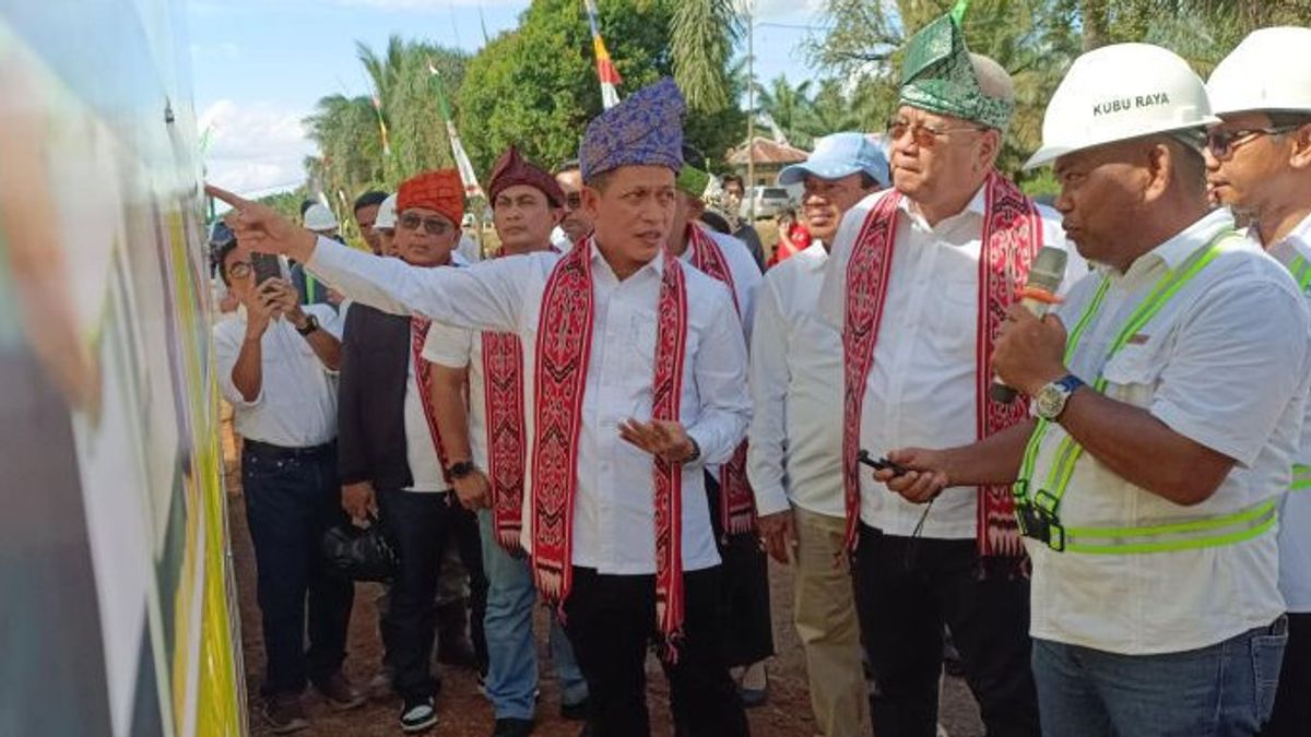


PONTIANAK - Minister of Environment and Forestry (LHK) Hanif Faisol Nurofiq stated that West Kalimantan was listed as the province with the highest number of hotspots in Indonesia as of May 16, 2025, with a total of 57 points, followed by Riau Province.
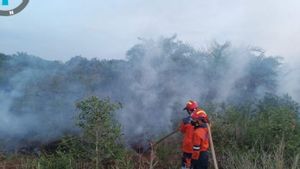
However, judging from the area of the burned land, Riau occupies the first position with more than 600 hectares, while West Kalimantan is in second place with more than 400 hectares.
"We have to handle this seriously. Of the total 400 hectares of burned land in West Kalimantan, about 100 hectares are on peatlands and the rest are on mineral lands," said Minister Hanif Faisol Nurofiq in Pontianak, Saturday.
He revealed that 70 to 80 percent of forest and land fires (karhutla) in West Kalimantan occurred outside the forest area, so it was necessary to play an active role in all levels of local government, especially palm oil plantation companies, in prevention efforts.
SEE ALSO:
-
 | EKONOMI
Pengusaha Kelapa Sawit Ajak Seluruh Pemangku Kepentingan Cegah Karhutla
13 Mei 2025, 20:05

"We really hope for support and coordination from the Governor of West Kalimantan so that all ranks, including plantation companies, can work together in tackling forest and land fires," he said.
According to Minister Hanif, West Kalimantan has a peat area of 2.4 million hectares, which is one of the largest in Indonesia.
"The management of land in West Kalimantan is very complex. The total area is 14 million hectares, but only managed by one governor. Compared to Java Island which has six governors for an area of 13 million hectares," he said.
He emphasized the importance of prevention over countermeasures, especially fires in peatlands that are difficult to extinguish during the dry season.
"Water bombing will also be useless if the burnt land is peatland," said Hanif.
The English, Chinese, Japanese, Arabic, and French versions are automatically generated by the AI. So there may still be inaccuracies in translating, please always see Indonesian as our main language. (system supported by DigitalSiber.id)


