

The Center for Volcanology and Geological Hazard Mitigation (PVMBG) stated that Mount Marapi, which is located in Agam Regency and Tanah Datar Regency, West Sumatra Province, is still on alert or level II, although in the last two weeks seismic activity has tended to increase.
"Based on the results of a thorough analysis and evaluation of April 1 to 16, 2025, the activity level of Mount Marapi remains at level II or alert," said Head of the Geological Agency of the Ministry of Energy and Mineral Resources Muhammad Wafid as reported by ANTARA, Wednesday, April 23.
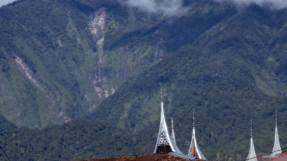
This was conveyed by PVMBG after conducting a thorough evaluation of the volcanic activity 2,891 meters above sea level (MDPL) for the period from April 1 to 15, 2025.
During the evaluation, PVMBG conveyed a number of notes, including seismic activity dominated by earthquake gusts. The details are eight eruptions or eruptions, 125 gusts, one tornillo earthquake, 17 shallow volcanic earthquakes, nine deep volcanic earthquakes, 37 local tectonic earthquakes, one earthquake was felt, and 41 distant tectonic earthquakes.
Muhammad Wafid explained that the eruption activity of Mount Marapi was still being observed with a maximum column height of 1,500 meters above the peak. Then the gusts were also observed with a maximum smoke height of 200 meters above the peak.
"There is no tendency to increase from the height of the eruption column which is significant or the height of gust smoke," said the Head of the Geological Agency.
However, Marapi's seismicity has tended to increase in the last two weeks. Earthquakes of eruptions and gusts related to energy discharge increased from four to eight times each, and earthquakes erupted from 40 to 125 times.
Then the number of volcanic earthquakes (VA and VB) related to magma supply also increased from 13 to 26 times. Likewise, the recorded tectonic earthquakes increased.
PVMBG also issued a number of recommendations, including the community, climbers, or visitors, being asked not to enter or carry out activities within a three-kilometer radius of the eruption center (Kawah Verbeek) of Mount Marapi.
The next recommendation is to appeal to people living around the valley, rivers or riverbanks whose water originates at the top of Mount Marapi to always be aware of the potential threat of rain lava floods that can occur, especially during the rainy season.
Then, if there is ash rain, the public is advised to use a mask covering the nose and mouth to avoid respiratory tract problems (Ispa).
The English, Chinese, Japanese, Arabic, and French versions are automatically generated by the AI. So there may still be inaccuracies in translating, please always see Indonesian as our main language. (system supported by DigitalSiber.id)


