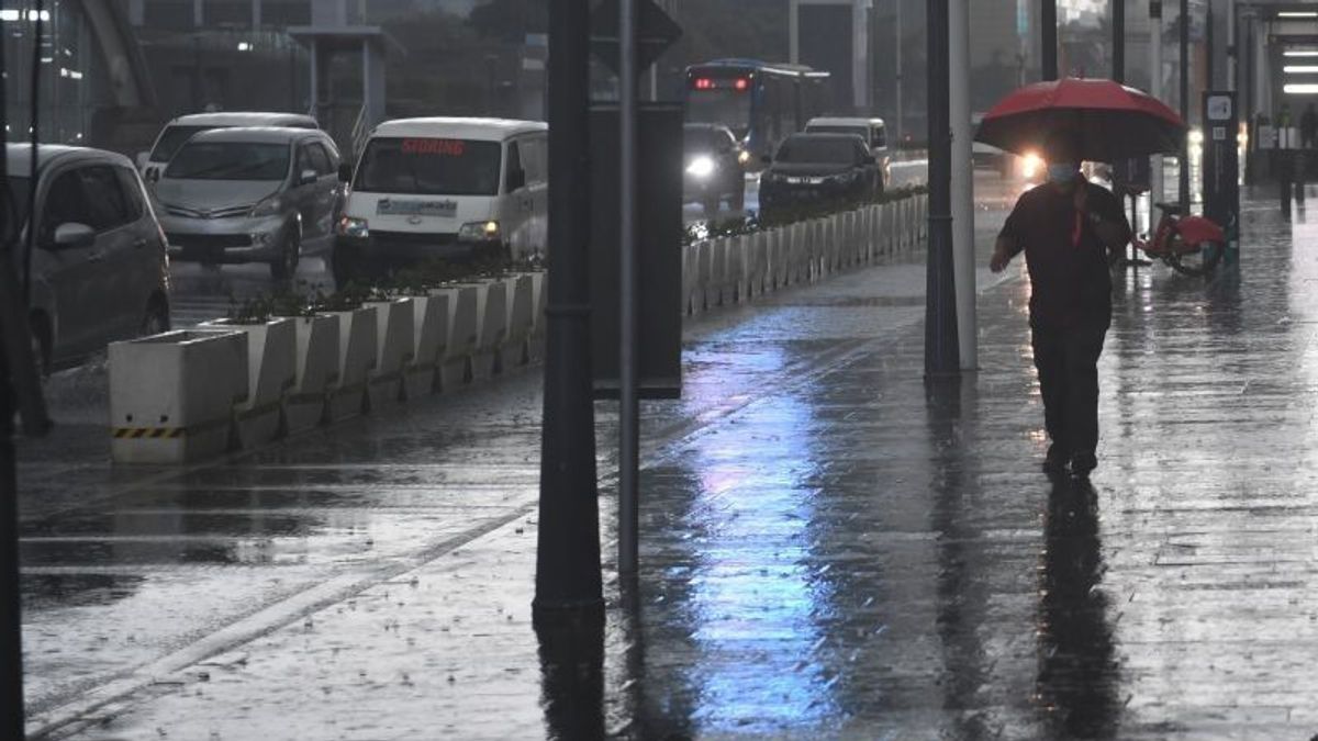
JAKARTA - Light rain to heavy rain and accompanied by lightning is predicted to flush the majority of major cities in Indonesia today, Monday, so all parties are asked to be aware of the potential that accompanies it.
BMKG forecaster Azhari Putri Cempaka explained that the potential for light intensity rain or with rainfall less than 2.5 mm per hour is predicted to flush Banda Aceh, Pekanbaru, Bandar Lampung, Serang, Jakarta, Semarang, Yogyakarta, Surabaya, Denpasar, Palangka Raya, Palu, Gorontalo, Jayawijaya, Jayapura, Manokwari, and Ambon.
Quoting Antara, moderate rain or rainfall of more than 4.0 mm per hour is expected to flush the cities of Medan, Pontianak, Makassar, and Nabire.
Heavy rains with rainfall of more than 50 mm per hour are predicted to flush Mamuju City. Meanwhile, Tanjung Pinang, Bengkulu, Pangkal Pinang, Palembang, Jambi, Bandung, Mataram, Kupang, Banjarmasin, Tanjung Selor, Samarinda, Kendari, Manado, Ternate, Sorong, and Merauke are expected to experience rain accompanied by lightning.
Then for Padang City in West Sumatra, it is predicted to be cloudy and or foggy throughout the day with temperatures ranging from 22-29 Celsius.
Prakirawati BMKG explained that the potential for almost even rain in a number of big cities was influenced by the presence of several atmospheric dynamics.
SEE ALSO:
Among them, BMKG monitors the presence of cyclonic circulation in the waters of the Indian Ocean south of Bali and the Arafura Sea in southern Papua. The cyclonic circulation formed a wind deceleration area that extends from the southern Indian Ocean of Java to Arafura, the western Indian Ocean of Lampung West Kalimantan and Central Kalimantan.
This condition is considered capable of increasing the growth of rainy clouds and high sea waves along the cyclonic circulation area that has low air pressure.
The BMKG also appealed to the public, especially fishermen or sea transportation actors, to be aware of the potential for high sea waves with a height of 2.5 meters 4 meters in the North Natuna Sea. This was triggered by the potential for an increase in wind speed of more than 25 knots ranging from the southern China Sea, the North Natuna Sea, and the Philippine Sea.
The English, Chinese, Japanese, Arabic, and French versions are automatically generated by the AI. So there may still be inaccuracies in translating, please always see Indonesian as our main language. (system supported by DigitalSiber.id)


