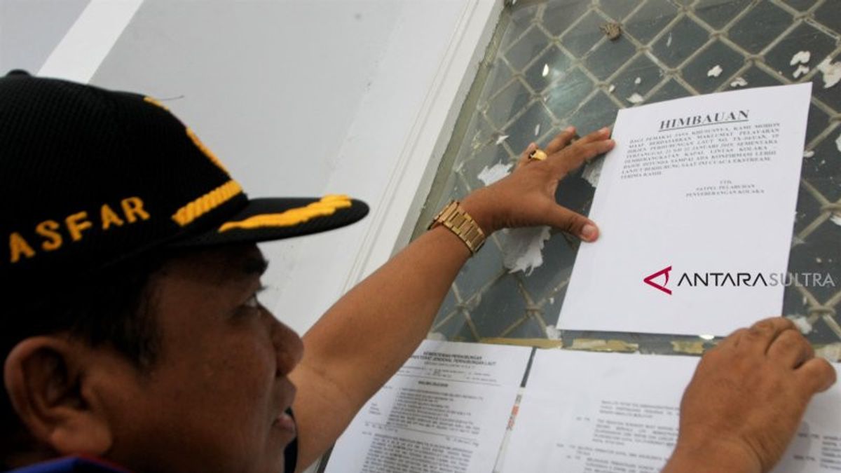


JAKARTA - The Ministry of Transportation has issued a Shipping Notice aimed at all Heads of the Technical Implementation Unit (UPT) of the Directorate General of Sea Transportation in Indonesia who have duties and authorities related to shipping safety to prevent ship accidents from recurring.
"Based on the results of BMKG monitoring on April 16, 2021, it is estimated that on April 16 to April 22, 2021, extreme weather with high waves," said the Director of the Sea and Coast Guard Unit (KPLP), Ahmad reported by Antara, Saturday, April 17.
Ahmad said the Shipping Declaration instructed the Head of the Main Harbormaster Office, Head of the KSOP Office, Head of the UPP Office, Head of the Batam Special KSOP Office, Head of PLP Base, and Head of Navigation Districts throughout Indonesia to be aware of the dangers of extreme weather for the next 1 (one) week.
In this regard, all Harbormars are instructed to re-monitor weather conditions every day through bmkg.go.id, and disseminate it to service users, including publications at terminals or passenger debarkation sites.
The harbormaster is also asked to postpone the Sailing Approval Letter (SPB) until the weather conditions are completely safe for sailing.
"The loading and unloading activities are supervised to ensure that activities are carried out in an orderly and smooth manner, that the cargo is dilated, the ship does not overdraft and the stability of the ship remains good. "If there is an oil spill in the sea, please immediately coordinate with the nearest Marine and Coast Guard Base (PLP) to help with the oil spill," he said.
Ship operators, especially the skipper, are required to monitor weather conditions at least 6 (six) hours before the ship sails and report the results to the Harbormaster when applying for the SPB. During the voyage at sea, the master must monitor weather conditions every 6 (six) hours and report the results to the nearest Coastal Radio Station and recorded in the shipping Log Book.
"For ships sailing more than 4 (four) hours, the captain is required to attach a signed weather report before submitting an SPB to the Harbormaster," he said.
When a ship on a voyage gets bad weather, it is necessary to immediately take refuge in safe waters, provided that the ship must remain ready to move. Every ship that takes shelter must immediately report to the nearest Syahbandar and SROP by informing the ship's position, weather conditions and ship conditions as well as other important matters as well as monitoring / checking the condition of the ship to prevent ship accidents that can cause oil spills in the sea.
"If an accident occurs, the ship must immediately coordinate with the local harbormaster and take control of the oil spill and other consequences, including marking and salvage activities," he said.
Ahmad also instructed all Heads of PLP Bases and Heads of Navigation District to state ships (patrol boats and flag ships) to stay alert and immediately provide assistance to ships that are in danger or have an accident.
The head of the SROP and the ship's captain of the country to carry out monitoring and dissemination of weather conditions and news of distress.
"In the event of a ship accident, the head of the SROP and the captain of the state ship must coordinate with the PLP base," he said.
All findings of disturbances and / or ship accidents can be reported to Puskodalops via telephone number 081196209700 or email [email protected].
The following is a prediction of high waves that will occur in Indonesian waters for the period 16 April to 22 April 2021, namely:
Very high waves 4-6 meters It is estimated that it will occur in the North Pacific Ocean, West Papua to Biak.
High waves of 2.5 - 4 meters are expected to occur in the West Waters of the Enggano Islands, the West Lampung Waters, the West Indian Ocean, the Mentawai Islands, Lampung, the Western and Southern Sunda Strait, the Southern Waters of Java Island to Lombok Island, Bali Strait - Lombok Strait Southern part, South Indian Ocean Java to NTB, North Pacific Ocean Halmahera, North Pacific Ocean Jayapura.
Medium waves as high as 1.25 - 2.5 meters are estimated to occur in the waters of North Sabang, waters of West Aceh to Kep. Mentawai. West Bengkulu Waters, West Indian Ocean Aceh to Nias Islands, Southern Lampung Bay, Alas Strait-Southern Sape Strait. South Sumbawa waters to Sawu Island, West Sumba Strait, Kupang - P Rotte waters, Savu Sea, South East Indian Ocean, East Nusa Tenggara, Central and Eastern Sulawesi Seas, Kep Sangihe waters - Talaud Kep, Maluku Sea, Sitaro Kep waters, Bitung waters - Likupang, Southern Waters of North Sulawesi, Kep Halmahera Sea, Halmahera Sea, North Pacific Ocean Halmahera, Northern Raja Ampat Waters, Manokwari Waters - P Biak, Cendrawasih Bay, Jayapura - Sarmi Waters, South Kep Tanimbar Waters, Southern Kep Kei Waters - Kep Aru, Arafuru.
The English, Chinese, Japanese, Arabic, and French versions are automatically generated by the AI. So there may still be inaccuracies in translating, please always see Indonesian as our main language. (system supported by DigitalSiber.id)


