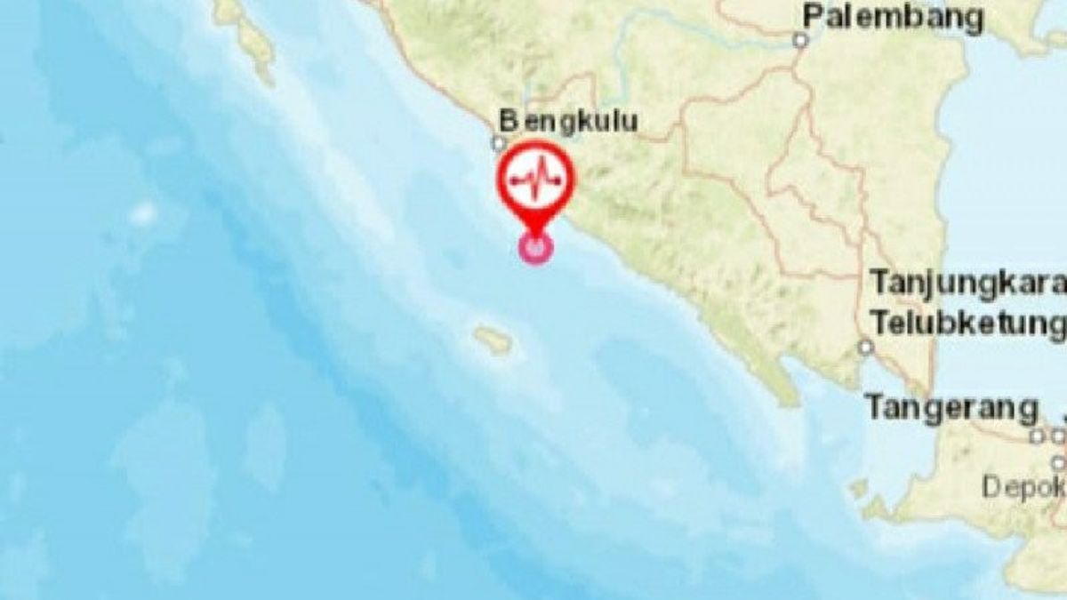
BENGKULU - An earthquake with a magnitude of 5.2 occurred in Bengkulu. The tremors of the earthquake were felt quite strongly by several Bengkulu City residents.
The Bengkulu Meteorology, Climatology and Geophysics Agency (BMKG) noted that the epicenter of the earthquake occurred at the coordinates of 4.64 South Latitude and 102.59 East Longitude.
The earthquake was precisely located in the sea at a distance of 42 kilometers southwest of South Bengkulu, Bengkulu Province with a depth of 48 kilometers.
"An earthquake with a magnitude of 5.2 occurred at 11.13 WIB and had no potential for a tsunami", said Head of Class III Geophysics Station in Kepahiang, Bengkulu Litman, quoted by Antara, Monday, March 29. The earthquake that occurred was a type of shallow earthquake due to the subduction activity of the Indo-Australian Plate.
The results of the analysis of the source mechanism show that the earthquake has a thrust fault mechanism and the BMKG monitoring results have not shown any aftershock activity.
"The public is urged to remain calm and not be affected by issues that cannot be justified", said Litman.
Meanwhile, a resident of Kandang Limun Village, Muara Bangkahulu District, Luzi Aprida, said that the earthquake was felt strong enough to make the walls of the house vibrate.
According to her, the earthquake did not cause damage to residents' houses or other public facilities.
"It feels enough for only a few seconds. Earlier she realized when the walls of the house were shaking but thank God there was no damage," she said.
The English, Chinese, Japanese, Arabic, and French versions are automatically generated by the AI. So there may still be inaccuracies in translating, please always see Indonesian as our main language. (system supported by DigitalSiber.id)


