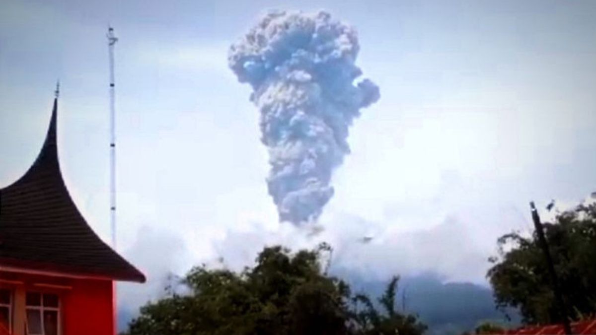
JAKARTA - The National Disaster Management Agency (BNPB) specifically reminded the residents of West Sumatra (West Sumatra) to remain calm and comply with directions from the local government (Pemda) regarding Mount Marapi which erupted again on Thursday afternoon.
"All directions in disaster conditions like this are definitely oriented towards the safety of the population," said Head of the BNPB Disaster Data, Information and Communication Center Abdul Muhari as quoted by ANTARA, Thursday, May 30.
He asked all parties to maintain a conducive atmosphere in the community, one of which is by not spreading false narratives (hoaxes) that are unclear where the source comes from and the truth is doubtful.
Currently, the local government through the Rapid Response Team of the Regional Disaster Management Agency (BPBD) and other potential SAR elements in West Sumatra are on standby to go down to the location to ensure the safety of residents, including Tanah Datar, Agam, and so on, which is not far from Mount Marapi.
In a situation like this, people are advised to stay away from river basins that originate at Mount Marapi and be aware of the potential risk of lava hazards that can occur, especially when it rains.
"The public should wear a mask covering their nose and mouth to avoid the impact if there is ash rain," he said, adding that if the volcanic activity increased, they would immediately evacuate independently or with joint officers who had been on standby.
Geological Agency officers from the Ministry of Energy and Mineral Resources announced Mount Marapi erupted again on Thursday, at 13.04 WIB. After previously the eruption occurred on Sunday, December 3, 2023.
This afternoon's eruption lasted about 2 minutes 2 seconds with a maximum amplitude of 30.4 mm, based on the recording of the Mount Marapi Observation Post seismograph of the Geological Agency of the Ministry of Energy and Mineral Resources in Bukittinggi, West Sumatra.
Observation Post officers found the ash column sticking out about 2,000 meters above the peak, the column of gray ash with thick intensity leaning towards the northwest, which is topographically leading to the Tanah Datar, Agam, and surrounding areas. Currently, Mount Marapi is at Level III (Alert) Status.
The English, Chinese, Japanese, Arabic, and French versions are automatically generated by the AI. So there may still be inaccuracies in translating, please always see Indonesian as our main language. (system supported by DigitalSiber.id)


