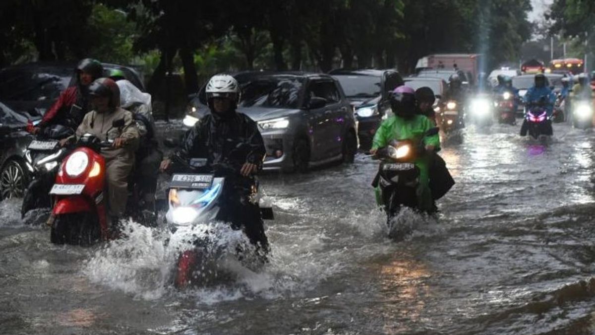


JAKARTA - A total of two neighborhood units (RT) were flooded in West Jakarta with a water level of 80 centimeters (cm) at 19.00 WIB.
"We noted that floods occurred in two RTs or 0.006 percent of the 30,772 RT and one road section in DKI Jakarta," said Head of BPBD DKI Jakarta Isnawa Adji as reported by ANTARA, Wednesday, April 10.
Isnawa said that high rainfall caused inundation in the DKI Jakarta area.
The two RTs are located in South Sukabumi, Kebon Jeruk with a water level of 80 cm.
As for, one section of the road is flooded on Ciledug Raya Street, Cipulir, Kebayoran Lama with a water level of 30 cm.
BPBD DKI appealed to the public to remain careful and alert to potential inundation.
"In an emergency, immediately call phone number 112 for free and operate for 24 hours non-stop," he said.
SEE ALSO:
-
 | BERITA
Pria Penerobos Istana Negara Disebut Polisi Positif Narkoba dan Depresi
10 April 2024, 17:06


BPBD DKI continues to strive so that flood inundation can recede as soon as possible through the handling of officers from the DKI Water Resources Service (SDA), DKI Jakarta Highways Agency, DKI Fire and Rescue Service (Gulkarmat).
A total of 267 disaster management officers or the Rapid Response Team (TRC) are on duty in all flood-prone areas.
SEE ALSO:
-
| BERITA
Pria Penerobos Istana Negara Disebut Polisi Positif Narkoba dan Depresi
10 April 2024, 17:06
BPBD DKI has mapped 25 flood-prone urban villages in Jakarta with the following details:
West Jakarta dumplings are located in Rawa Buaya, Tegal Alur, South Kedoya, North Kedoya and North Kembangan (five urban villages);
South Jakarta is located in North Cipete, Petogogan, Cipulir, Pondok Pinang, Ulujami, Pondok Labu, Bangka, East Pejaten, and Jati Padang (nine urban villages);
East Jakarta heads located in Bidara Cina, Kampung Melayu, Cawang, Cililitan, Cipinang Melayu, Kebon Pala, Makasar, and Rambutan (eight urban villages);
Badminton, North Jakarta is located in West Pademangan, Pluit and Rorotan (three urban villages).
The English, Chinese, Japanese, Arabic, and French versions are automatically generated by the AI. So there may still be inaccuracies in translating, please always see Indonesian as our main language. (system supported by DigitalSiber.id)


