

BALI - Center for Meteorology, Climatology and Geophysics (BBMKG) Region III Denpasar issued an early warning of extreme weather in all regencies/cities in Bali for the next two days or 26-27 February 2024.
"We urge the public to remain vigilant and careful about the impact of the disaster that can be caused," said Head of BBMKG Region III Denpasar Cahyo Nugroho in Denpasar, Sunday, February 25, as reported by Antara.
The impacts of the disaster that are estimated to have the potential to occur include strong winds, fallen trees, lightning, floods, puddles and landslides.
Denpasar BBMKG estimates that the weather will not be friendly during that period in the form of rain with moderate to heavy intensity, which can be accompanied by lightning and strong winds of short duration and occurs in all regencies/cities on the Island of the Gods.
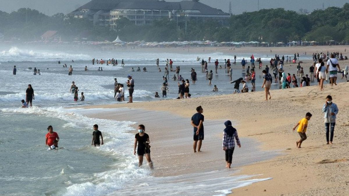
BBMKG Denpasar also appealed to users and operators of sea transportation services, fishermen, and marine tourism, as well as people who are active on the coast to be aware of the potential for high sea waves to reach about two meters or more.
The potential for high sea waves is in the Bali Sea, Bali Strait, Badung Strait, Lombok Strait, and southern Bali waters which are directly adjacent to the Indian Ocean.
SEE ALSO:
-
 | BERITA
KPU Tolak Rekomendasi Pemungutan Suara Ulang 3 TPS di Halmahera Utara
25 Februari 2024, 13:53 -
 | BERITA
Bela Masyarakat Rentan Lawan Mafia Tanah, AHY: Jangan Sampai Hak Mereka Diinjak
25 Februari 2024, 14:21
During the early warning period, he continued, the wind generally blows from the southwest-west at speeds of up to 36 kilometers per hour.
Denpasar BBMKG conveyed that wind conditions and sea waves pose a risk to shipping safety.
Fishermen's boat users are asked to be aware of wind speeds of more than 15 knots and wave heights above 1.25 meters, barge operators are advised to be vigilant when the wind is over 16 knots and the wave height is above 1.5 meters.
Furthermore, ferry operators are asked to be aware of wind speeds of more than 21 knots and wave heights above 2.5 meters.
Denpasar BBMKG explained that the weather conditions for three days or in the period 25-27 February 2024 were caused by the formation of wind confluence areas that could support convective cloud growth or rain clouds.
In addition, the sea surface temperature around the Bali region generally ranges from 29-31 degrees Celsius and the wet air mass is concentrated from the surface layer to a layer of 200 millibars or 12 thousand meters.
Cahyo also appealed to the public to follow the latest developments/weather forecasts through the official BMKG website, the InfoBMKG application and BMKG social media, namely Facebook at BBMKG Region III Denpasar, X (twitter) on @bbMKG3, and Instagram on @bmkgbali.
The English, Chinese, Japanese, Arabic, and French versions are automatically generated by the AI. So there may still be inaccuracies in translating, please always see Indonesian as our main language. (system supported by DigitalSiber.id)


