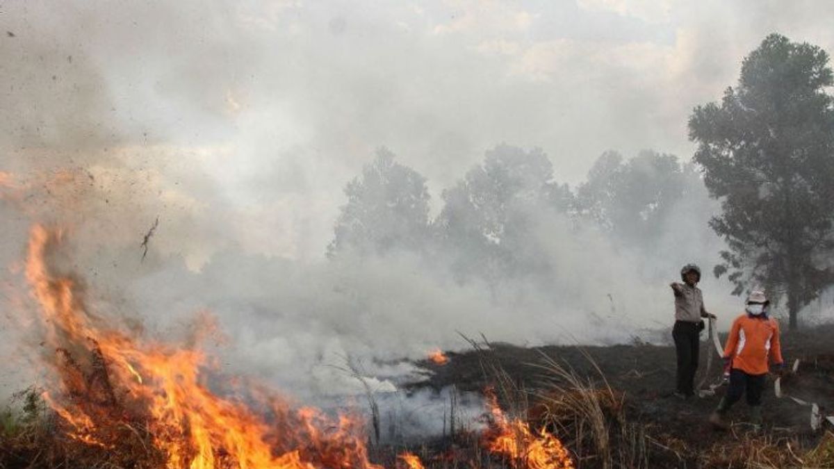


JAKARTA - The number of hotspots in East Kalimantan Province (Kaltim) has decreased in three days.
As of Wednesday, November 1, there have been 298 points monitored, Thursday, November 2, it dropped drastically to 66 points, and Friday, November 3, it rose slightly to 86 points.
This decrease in the number of hot spots was due to several things, such as due to the intensity of rain that began to occur frequently in a number of East Kalimantan areas, then due to the level of awareness of residents in protecting the environment.
"The number of 86 hotspots was observed last Friday, starting at 01.00 to 24.00 WITA," said BMKG Class I Meteorological Station Data and Information Coordinator Sultan Aji Muhammad Sulaiman-Sepinggan Balikpapan Diyan Novrida quoting Antara.
A total of 86 hotspots, which are initial indicators of forest and land fires, were observed in six districts, namely in Paser Regency there are nine points, Penajam Paser Utara (3), West Kutai (21), East Kutai (41), Kutai Kartanegara (6), and Berau Regency also (6) points.
SEE ALSO:
-
 | BERITA
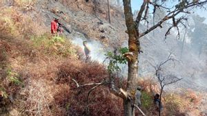
Hasil Pemantauan TNGR, 5 Titik Api Masih Ada di Bagian Utara Gunung Rinjani
03 November 2023, 13:17
Meanwhile, the day before, Thursday, November 2, which was observed at 66 hotspots, were also spread across six districts, namely Paser (4), Penajam Paser Utara (1), East Kutai (26), Kutai Kartanegara (7), Berau (27), and Mahakam Ulu Regency (1) hotspots.
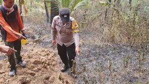
He stated that the latest information regarding the distribution of hotspots had been submitted to the Regional Disaster Management Agency (BPBD) at the provincial and district levels in order to be followed up.
Diyan also asked residents to help prevent forest and land fires, including by not throwing cigarette butts carelessly and not burning to open or clean the land.
The English, Chinese, Japanese, Arabic, and French versions are automatically generated by the AI. So there may still be inaccuracies in translating, please always see Indonesian as our main language. (system supported by DigitalSiber.id)


