

LUMAJANG - The officer of the Mount Semeru Observation Post on Mount Sawur, Lumajang Regency, Yadi Yuliandi, said that the observations of the earthquake recorded that the flood vibrations were recorded as being seismographed for 7,680 seconds or more than 2 hours, due to the pouring rain.
"There was one earthquake of flood vibration with an amplitude of 24 mm with an earthquake length of 7,680 seconds during the observation period of Mount Semeru July 1, 2023 at 06.00-12.00 WIB," he said, quoted by ANTARA, Saturday, July 1.
In addition to flood vibrations, seismographs also recorded seven eruption/eruption earthquakes with an amplitude of 10-22 mm and an earthquake of 49-121 seconds, then four harmonics with an amplitude of 9-22 mm and a long earthquake of 438-1,0689 seconds.
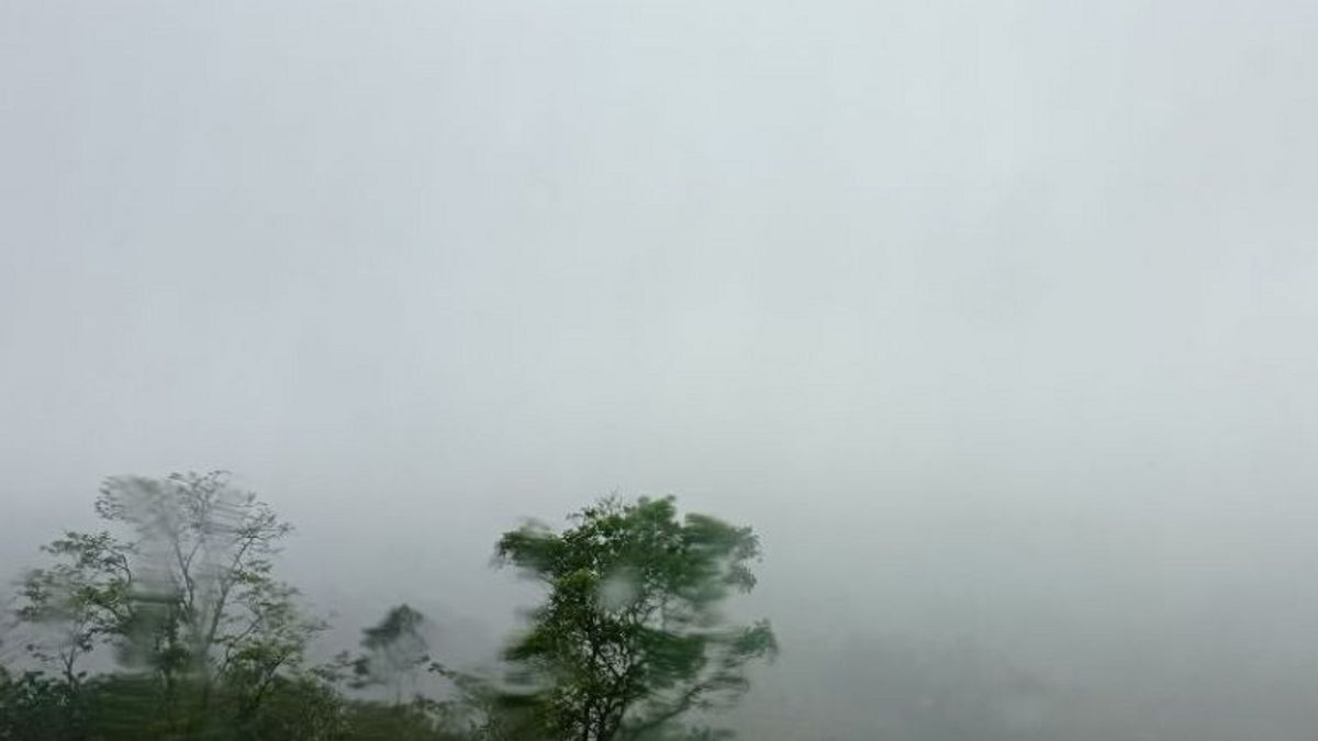
"For visual observations, Mount Semeru is covered in fog, crater smoke is not observed. Rainy weather, weak to moderate winds to the northwest," he said.
Meanwhile, the Head of the Emergency, Rehabilitation and Reconstruction Division of the Lumajang BPBD, Atma Teguh Pambudi, said that so far cold lava floods are still safe, because there has been no significant overflow of water discharge.
"We still urge the public to remain vigilant along the Semeru Watershed (DAS) because the rain is still pouring in Lumajang Regency," he said.
Mount Semeru, which has a height of 3,676 meters above sea level (masl), is still at Level III or its status is Alert, so people are advised to comply with the recommendations of the Center for Volcanology and Geological Disaster Mitigation (PVMBG).
People are prohibited from carrying out any activities in the southeast sector along Besuk Kobokan as far as 13 km from the summit (the center of the eruption) and outside that distance, people are not allowed to carry out activities at a distance of 500 meters from the river bank (river border) along Besuk Kobokan, because it has the potential to be affected by the expansion of hot clouds and lava flows up to a distance of 17 km from the summit.
The public is also advised not to move within a 5 km radius of the crater/peak of Mount Semeru because it is prone to the danger of throwing stones (pijar), then it is also advised to be aware of the potential for Hot Clouds to Fall (APG), lava avalanches, and lahars along rivers/valleys that originate at the peak of Mount Semeru.
Especially as long as Besuk Kobokan, Besuk Bang, Besuk Kembar, and Besuk Sat, as well as the potential for lahars in small rivers which are tributaries of Besuk Kobokan.
The English, Chinese, Japanese, Arabic, and French versions are automatically generated by the AI. So there may still be inaccuracies in translating, please always see Indonesian as our main language. (system supported by DigitalSiber.id)


