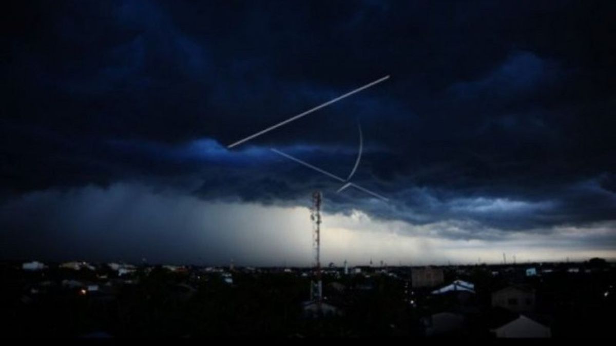
MEDAN - The Center for Meteorology, Climatology and Geophysics (BBMKG) Region I-Medan has asked people in a number of areas in North Sumatra (North Sumatra) to be aware of the potential for moderate to heavy rain. The potential for rain is related to the phenomenon of winds or Eddy circulation in the Indian Ocean region.
"Eddy's circulation in the Indian Ocean has resulted in the formation of many convective clouds, and has the potential to increase rain clouds around the west coast of North Sumatra," said Forecaster on Duty BBMKG Region I-Medan, Endah Paramita in Medan, quoted by Antara, Sunday, January 3. .
One of the natural phenomena of Eddy's vortex, called BMKG, has the potential for extreme weather to occur next week. Among them are heavy rain accompanied by lightning and strong winds during the day, evening and night, especially in the west coast of North Sumatra.
Among them include Samosir, Humbang Hasundutan, North Tapanuli, Pakpak Bharat, Dairi, South Tapanuli, Padang Sidempuan, Tapanuli Tengah, Sibolga, Mandailing Natal, and Toba potentially hit by floods and landslides.
"The rain that occurs can also be widespread, but with light to moderate intensity to the areas of Padang Lawas, North Padang Lawas, Labuhan Batu, South Labuhan Batu, Serdang Bedagai, Batu Bara, Deli Serdang, Medan, Langkat, and its surroundings," he said.
Endah said the air temperature in various regions of North Sumatra was between 17 and 32 degrees Celsius, and the humidity was 60 to 98 percent with the movement of winds from northeast to southwest having a speed of 10 to 20 kilometers per hour.
"As a result of Eddy's circulation, it is estimated that sea waves in the waters of the central part of the Malacca Strait, the Indian Ocean west of Nias, and Nias-Sibolga reach 2.5 meters," said Endah.
The English, Chinese, Japanese, Arabic, and French versions are automatically generated by the AI. So there may still be inaccuracies in translating, please always see Indonesian as our main language. (system supported by DigitalSiber.id)
