The Center for Volcanology and Geological Hazard Mitigation (PVMBG) has asked the public to obey the map of disaster-prone areas so that they can mitigate various threats that arise due to geological activity.
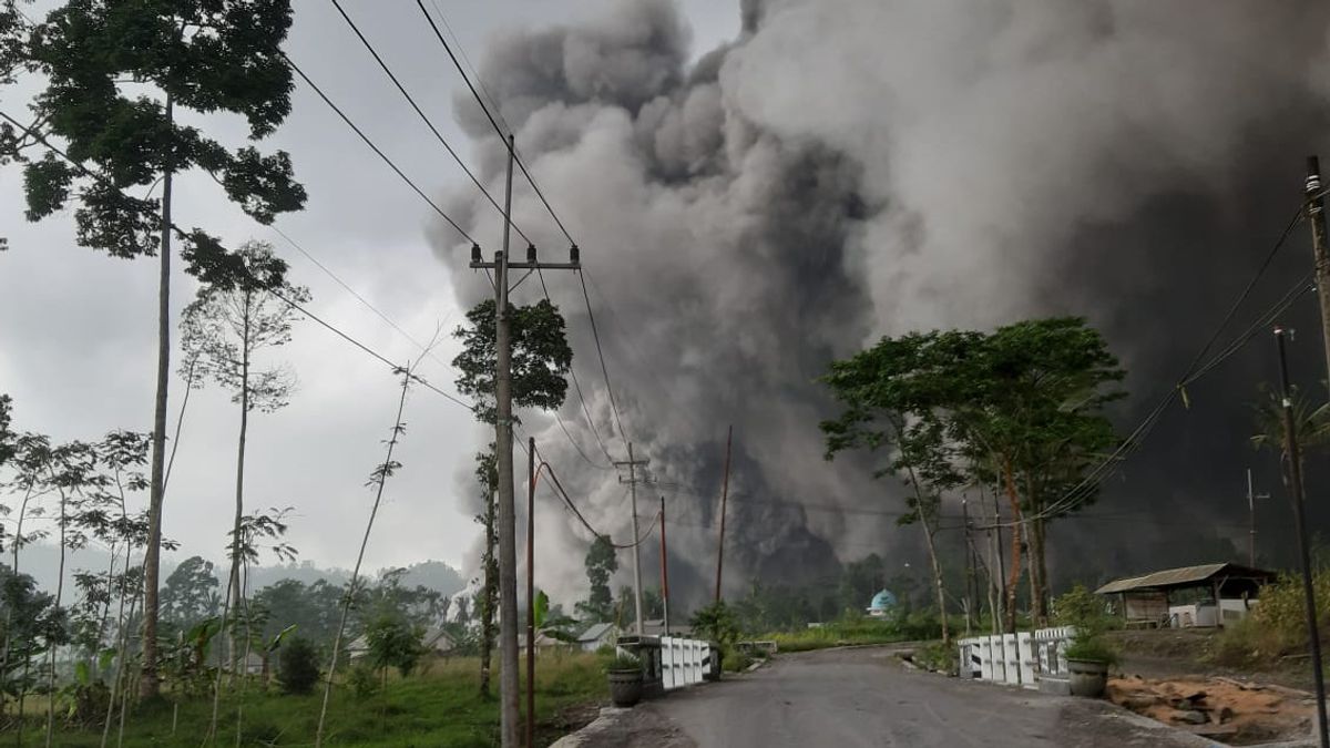
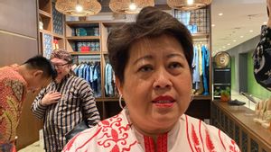
PVMBG Intermediate Earth researcher Agus Budianto gave an example of the map of the disaster-prone area being used when volcanic activity increases from Level I to Level IV which makes people living and entering disaster-prone areas to always be vigilant.
"When we are in an area, the map of disaster-prone areas will answer (explaining various disaster threats), for example earthquakes, tsunamis, mountains, and ground movements," Agus said in a discussion that was attended in Jakarta, Monday, December 5.
"So, the point is that the map of disaster-prone areas is a guide where we stand, so that's where we have to understand what the threat is," he added as quoted by Antara.
On January 14, 2022, PVMBG has launched a map of the Mount Semeru disaster-prone area, which results from the update on a scale of 1 to 25,000.
Maps for areas prone to volcanic disasters are maps of disaster vulnerability levels in an area in the event of an eruption or volcanic activity.
The map describes the types and nature of volcanic hazards, disaster-prone areas, directions or escape routes, evacuation sites, and disaster management posts.
PVMBG presents image shapes with colors and symbols with explanations published in the form of edge captions.
"The map that we published and its recommendations can make it easier for people to adapt and act," said Agus.
In addition to the map of volcanic disaster-prone areas, PVMBG also published maps of volcanic hazard-prone areas, maps of earthquake-prone areas, and maps of tsunami-prone areas.
Kemudian, PVMBG juga mempublikasi peta zona kerentanan gerakan tanah serta peta prakiraan potensi gerakan tanah yang diperbaharui setiap bulan yang semuanya dapat diakses secara mudah dan gratis melalui laman resmi https://vsi.esdm.go.id/.
Through the map of the disaster-prone area, the government and relevant stakeholders can draw up a contingency plan which is a community preparedness plan in the event of a geological disaster in the future.
The English, Chinese, Japanese, Arabic, and French versions are automatically generated by the AI. So there may still be inaccuracies in translating, please always see Indonesian as our main language. (system supported by DigitalSiber.id)
